


You also want an ePaper? Increase the reach of your titles
YUMPU automatically turns print PDFs into web optimized ePapers that Google loves.
TRANSPORTATION / 193<br />
TRANSPORTATION<br />
Because of Gaziantep’s geographical<br />
position, one can find several<br />
transportation options in order<br />
to get there. Transportation methods<br />
are by car, airplane, and<br />
train. There are 2,537 kilometers<br />
of country roads, 315 kilometers<br />
of public roads, 242 kilometers of<br />
regional roads, and 203 kilometers<br />
of highways which gives the<br />
total of 3,297 kilometers.<br />
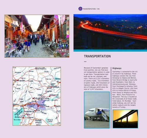
Highways<br />
Gaziantep is connected to the cities<br />
around it by highways. These<br />
highways connect the city from<br />
Osmaniye to Adana and Mersin,<br />
from Birecik Bridge to fianl›urfa<br />
and Diyarbak›r, from Narl› to<br />
Kahramanmarafl and Malatya,<br />
from Fevzipafla to Antakya, from<br />
Kilis to Aleppo (Syria), also from<br />
Kilis to Hassa district of Hatay,<br />
from Hassa to Antakya and Araban<br />
- Besni, from Pazarc›k to<br />
Ad›yaman. The city is located at<br />
the crossroads of all those roads<br />
listed above. On Nurda¤› - Gaziantep<br />
highway, you will see the<br />
tallest viaducts and the longest<br />
tunnels of Turkey.