

Oldtown Mooretown - Text - Fingal County Council
Oldtown Mooretown - Text - Fingal County Council
Oldtown Mooretown - Text - Fingal County Council

Create successful ePaper yourself
Turn your PDF publications into a flip-book with our unique Google optimized e-Paper software.
PAGE<br />
14<br />
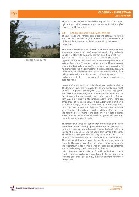
<strong>Mooretown</strong> ESB pylons<br />
OLDTOWN - MOORETOWN<br />
Local Area Plan<br />
The LAP lands are traversed by three separate ESB lines and<br />
pylons – two 110kV traverse the <strong>Mooretown</strong> lands and one 38kV<br />
traverse the <strong>Oldtown</strong> lands.<br />
2.2 Landscape and Visual Assessment<br />
The LAP lands are primarily greenfield and agricultural in use,<br />
with the site character largely defined by the hard urban edge<br />
of the adjoining residential development along the eastern<br />
boundary.<br />
The lands at <strong>Mooretown</strong>, south of the Rathbeale Road, comprise<br />
a significant number of trees/hedgerows subdividing the lands.<br />
Lands at <strong>Oldtown</strong>, to the north, contain large fields with few<br />
subdivisions. The use of existing vegetation on site where<br />
appropriate has value in integrating future development into the<br />
existing landscape. Trees and hedgerows should be preserved<br />
where it is desirable to do so. For example, the preservation of<br />
hedgerows around the perimeter of the archaeological sites will<br />
benefit the overall development, given the amenity value of the<br />
existing vegetation and also its role as boundary to the<br />
archaeological sites. Preservation of townland boundaries is<br />
also desirable.<br />
In terms of topography, the subject lands are gently undulating.<br />
The <strong>Oldtown</strong> lands are relatively flat, falling gently from south<br />
to north. A high point of over 30m. O.D. is located at the southwest<br />
corner of the site adjacent to the Rathbeale Road. The site<br />
falls towards the north-east corner to a low point of under<br />
10m.O.D, in proximity to the Broadmeadow River. There are<br />
small areas of steep slopes within the <strong>Oldtown</strong> lands in the 1 in<br />
10 to 1 in 20 range, due to an east-to-west minor escarpment<br />
located across the midpoint of the site. There are short-distance<br />
views into the <strong>Oldtown</strong> lands from the Rathbeale Road and from<br />
the housing development to the east. There are long distance<br />
views from the site out towards the north uplands and west over<br />
the adjacent agricultural lands.<br />
The <strong>Mooretown</strong> lands fall gently away from a high point in the<br />
south to the north. The high point, which is over 45m. O.D. is<br />
located in the extreme south-west corner of the lands, while the<br />
low point is located close to the north-east corner of the lands<br />
at a level of under 30m. O.D. The slope across the <strong>Mooretown</strong><br />
lands is relatively even, with no significant internal undulations.<br />
The main short-distance views into the site are from the north,<br />
from the Rathbeale road. There are short-distance views into<br />
the <strong>Mooretown</strong> lands from an area of public space contained<br />
within the housing area immediately to the east<br />
(where Glasmore Abbey is located), and from the houses to the<br />
south. There are partial views out towards the north and west<br />
from the site. These are partially interrupted by the network of<br />
hedgerows.<br />
Planning<br />
Department


