

Oldtown Mooretown - Text - Fingal County Council
Oldtown Mooretown - Text - Fingal County Council
Oldtown Mooretown - Text - Fingal County Council

You also want an ePaper? Increase the reach of your titles
YUMPU automatically turns print PDFs into web optimized ePapers that Google loves.
PAGE<br />
48<br />
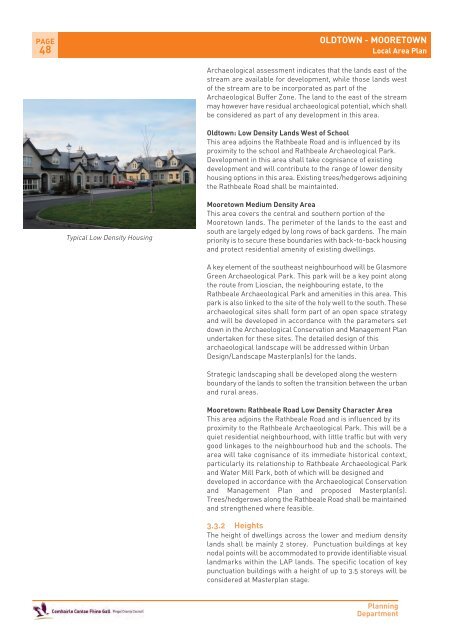
Typical Low Density Housing<br />
OLDTOWN - MOORETOWN<br />
Local Area Plan<br />
Archaeological assessment indicates that the lands east of the<br />
stream are available for development, while those lands west<br />
of the stream are to be incorporated as part of the<br />
Archaeological Buffer Zone. The land to the east of the stream<br />
may however have residual archaeological potential, which shall<br />
be considered as part of any development in this area.<br />
<strong>Oldtown</strong>: Low Density Lands West of School<br />
This area adjoins the Rathbeale Road and is influenced by its<br />
proximity to the school and Rathbeale Archaeological Park.<br />
Development in this area shall take cognisance of existing<br />
development and will contribute to the range of lower density<br />
housing options in this area. Existing trees/hedgerows adjoining<br />
the Rathbeale Road shall be maintainted.<br />
<strong>Mooretown</strong> Medium Density Area<br />
This area covers the central and southern portion of the<br />
<strong>Mooretown</strong> lands. The perimeter of the lands to the east and<br />
south are largely edged by long rows of back gardens. The main<br />
priority is to secure these boundaries with back-to-back housing<br />
and protect residential amenity of existing dwellings.<br />
A key element of the southeast neighbourhood will be Glasmore<br />
Green Archaeological Park. This park will be a key point along<br />
the route from Lioscian, the neighbouring estate, to the<br />
Rathbeale Archaeological Park and amenities in this area. This<br />
park is also linked to the site of the holy well to the south. These<br />
archaeological sites shall form part of an open space strategy<br />
and will be developed in accordance with the parameters set<br />
down in the Archaeological Conservation and Management Plan<br />
undertaken for these sites. The detailed design of this<br />
archaeological landscape will be addressed within Urban<br />
Design/Landscape Masterplan(s) for the lands.<br />
Strategic landscaping shall be developed along the western<br />
boundary of the lands to soften the transition between the urban<br />
and rural areas.<br />
<strong>Mooretown</strong>: Rathbeale Road Low Density Character Area<br />
This area adjoins the Rathbeale Road and is influenced by its<br />
proximity to the Rathbeale Archaeological Park. This will be a<br />
quiet residential neighbourhood, with little traffic but with very<br />
good linkages to the neighbourhood hub and the schools. The<br />
area will take cognisance of its immediate historical context,<br />
particularly its relationship to Rathbeale Archaeological Park<br />
and Water Mill Park, both of which will be designed and<br />
developed in accordance with the Archaeological Conservation<br />
and Management Plan and proposed Masterplan(s).<br />
Trees/hedgerows along the Rathbeale Road shall be maintained<br />
and strengthened where feasible.<br />
3.3.2 Heights<br />
The height of dwellings across the lower and medium density<br />
lands shall be mainly 2 storey. Punctuation buildings at key<br />
nodal points will be accommodated to provide identifiable visual<br />
landmarks within the LAP lands. The specific location of key<br />
punctuation buildings with a height of up to 3.5 storeys will be<br />
considered at Masterplan stage.<br />
Planning<br />
Department


