

Understanding Map Projections
Understanding Map Projections
Understanding Map Projections

Create successful ePaper yourself
Turn your PDF publications into a flip-book with our unique Google optimized e-Paper software.
CASSINI–SOLDNER<br />
Area<br />
No distortion along the central meridian. Distortion<br />
increases with distance from the central meridian.<br />
Direction<br />
Generally distorted.<br />
Distance<br />
Scale distortion increases with distance from the<br />
central meridian; however, scale is accurate along<br />
the central meridian and all lines perpendicular to<br />
the central meridian.<br />
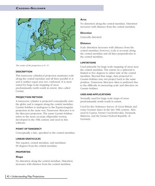
The center of the projection is 0°, 0°.<br />
DESCRIPTION<br />
This transverse cylindrical projection maintains scale<br />
along the central meridian and all lines parallel to it<br />
and is neither equal area nor conformal. It is most<br />
suited for large-scale mapping of areas<br />
predominantly north–south in extent. Also called<br />
Cassini.<br />
PROJECTION METHOD<br />
A transverse cylinder is projected conceptually onto<br />
the globe and is tangent along the central meridian.<br />
Cassini–Soldner is analogous to the Equirectangular<br />
projection in the same way Transverse Mercator is to<br />
the Mercator projection. The name Cassini–Soldner<br />
refers to the more accurate ellipsoidal version,<br />
developed in the 19th century and used in this<br />
software.<br />
LIMITATIONS<br />
Used primarily for large-scale mapping of areas near<br />
the central meridian. The extent on a spheroid is<br />
limited to five degrees to either side of the central<br />
meridian. Beyond that range, data projected to<br />
Cassini–Soldner may not project back to the same<br />
position. Transverse Mercator often is preferred due<br />
to the difficulty in measuring scale and direction on<br />
Cassini–Soldner.<br />
USES AND APPLICATIONS<br />
Normally used for large-scale maps of areas<br />
predominantly north–south in extent.<br />
Used for the Ordnance Survey of Great Britain and<br />
some German states in the late 19th century. Also<br />
used in Cyprus, former Czechoslovakia, Denmark,<br />
Malaysia, and the former Federal Republic of<br />
Germany.<br />
POINT OF TANGENCY<br />
Conceptually a line, specified as the central meridian.<br />
LINEAR GRATICULES<br />
The equator, central meridian, and meridians<br />
90 degrees from the central meridian.<br />
PROPERTIES<br />
Shape<br />
No distortion along the central meridian. Distortion<br />
increases with distance from the central meridian.<br />
42 • <strong>Understanding</strong> <strong>Map</strong> <strong>Projections</strong>


