Understanding Map Projections
Understanding Map Projections
Understanding Map Projections
Create successful ePaper yourself
Turn your PDF publications into a flip-book with our unique Google optimized e-Paper software.
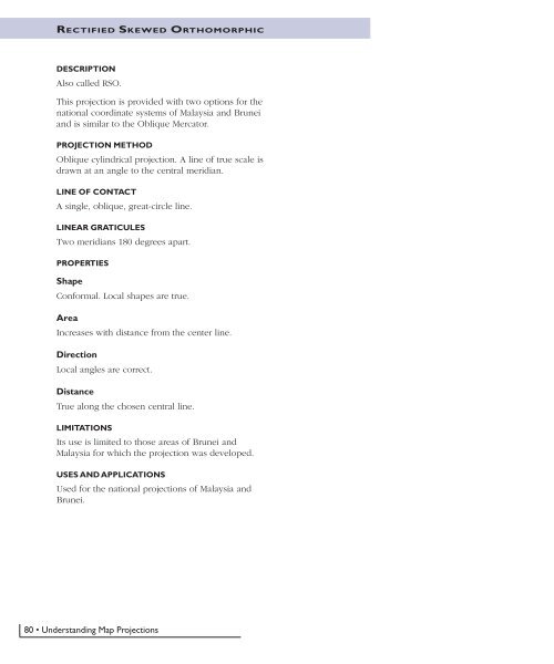
RECTIFIED SKEWED ORTHOMORPHIC<br />
DESCRIPTION<br />
Also called RSO.<br />
This projection is provided with two options for the<br />
national coordinate systems of Malaysia and Brunei<br />
and is similar to the Oblique Mercator.<br />
PROJECTION METHOD<br />
Oblique cylindrical projection. A line of true scale is<br />
drawn at an angle to the central meridian.<br />
LINE OF CONTACT<br />
A single, oblique, great-circle line.<br />
LINEAR GRATICULES<br />
Two meridians 180 degrees apart.<br />
PROPERTIES<br />
Shape<br />
Conformal. Local shapes are true.<br />
Area<br />
Increases with distance from the center line.<br />
Direction<br />
Local angles are correct.<br />
Distance<br />
True along the chosen central line.<br />
LIMITATIONS<br />
Its use is limited to those areas of Brunei and<br />
Malaysia for which the projection was developed.<br />
USES AND APPLICATIONS<br />
Used for the national projections of Malaysia and<br />
Brunei.<br />
80 • <strong>Understanding</strong> <strong>Map</strong> <strong>Projections</strong>


