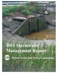
2010 Stormwater Management Report (PDF) - US Environmental ...
2010 Stormwater Management Report (PDF) - US Environmental ...
2010 Stormwater Management Report (PDF) - US Environmental ...

You also want an ePaper? Increase the reach of your titles
YUMPU automatically turns print PDFs into web optimized ePapers that Google loves.
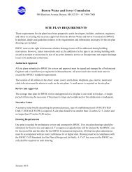
9.0 ASSESSMENT OF STRUCTURAL CONTROLS<br />
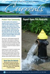
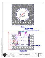
9.1 CATCH BASINS<br />
The Commission relies on catch basins as the primary means for preventing the transport<br />
of sediments, debris, and other contaminants to storm drains and receiving waters. The<br />
Commission’s <strong>Stormwater</strong> Monitoring Program included a demonstration project to<br />
evaluate the effectiveness of catch basins in capturing solids. The demonstration project<br />
started in 2001 and concluded in 2002. The results of the demonstration project<br />
(described in previous annual reports) indicated that a clean and well-maintained catch<br />
basin will remove between 10 to 33 percent of the total solids from stormwater flow<br />
through the basin. The data also suggested that a catch basin’s ability to remove solids<br />
diminishes as the sump of the catch basin approaches half full. These findings are<br />
consistent with the conclusions of other similar studies reported in the literature.<br />
The Commission continued to measure the depth of sediment in the catch basin sumps on<br />
a quarterly basis through the beginning of 2004. The results showed that sediment depths<br />
in the two catch basins monitored continued to increase between April 2002 and May<br />
2003, but began to level off and even decline, as the basins approached 50 percent full.<br />
This finding appears to confirm that the catch basin had achieved their maximum<br />
effectiveness.<br />
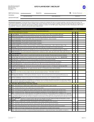
Under the Commission’s Catch Basin Inspection and Cleaning Program the sediment<br />
depths in one hundred catch basins were monitored between January 2002 and April<br />
2003, to determine the factors that effect how quickly catch basins become full.<br />
Variables considered in selecting the catch basins to be monitored included slope, land<br />
use and the size of the tributary area, the type of road (highly traveled road vs. back<br />
road), and tree cover. The selected catch basins were inspected four times each on a<br />
quarterly basis and the depth of sediment measured.<br />
No statistically significant correlation between land use and accumulation rates was<br />
observed. Similarly, no correlation was observed based on slope, drainage area, or<br />
neighborhood characteristics. Some correlation with tree cover was observed, with the<br />
catch basins located in areas of denser tree coverage demonstrating as much as 50 percent<br />
higher accumulation rates as compared to basins with little or no tree cover. The data<br />
also exhibited a seasonal correlation, with the winter months demonstrating the highest<br />
accumulation rates.<br />
9 - 1