Outline of Quino Recovery Plan - The Xerces Society
Outline of Quino Recovery Plan - The Xerces Society
Outline of Quino Recovery Plan - The Xerces Society
You also want an ePaper? Increase the reach of your titles
YUMPU automatically turns print PDFs into web optimized ePapers that Google loves.
natural lands are absent, by costly perpetual management to restrict human<br />
traffic, control nonnative species invasion, and augment butterfly populations.<br />
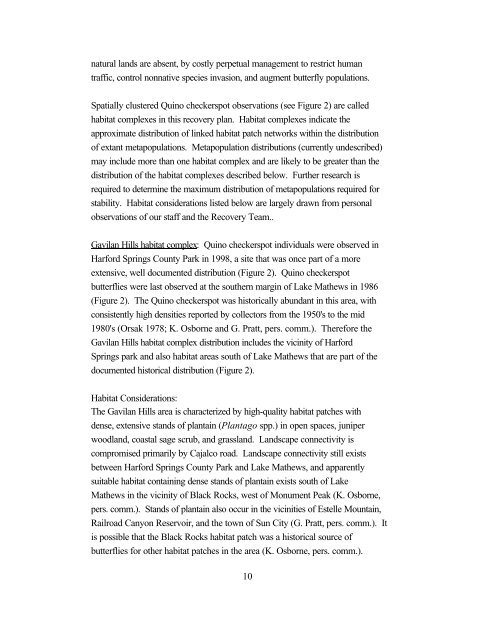
Spatially clustered <strong>Quino</strong> checkerspot observations (see Figure 2) are called<br />
habitat complexes in this recovery plan. Habitat complexes indicate the<br />
approximate distribution <strong>of</strong> linked habitat patch networks within the distribution<br />
<strong>of</strong> extant metapopulations. Metapopulation distributions (currently undescribed)<br />
may include more than one habitat complex and are likely to be greater than the<br />
distribution <strong>of</strong> the habitat complexes described below. Further research is<br />
required to determine the maximum distribution <strong>of</strong> metapopulations required for<br />
stability. Habitat considerations listed below are largely drawn from personal<br />
observations <strong>of</strong> our staff and the <strong>Recovery</strong> Team..<br />
Gavilan Hills habitat complex: <strong>Quino</strong> checkerspot individuals were observed in<br />
Harford Springs County Park in 1998, a site that was once part <strong>of</strong> a more<br />
extensive, well documented distribution (Figure 2). <strong>Quino</strong> checkerspot<br />
butterflies were last observed at the southern margin <strong>of</strong> Lake Mathews in 1986<br />
(Figure 2). <strong>The</strong> <strong>Quino</strong> checkerspot was historically abundant in this area, with<br />
consistently high densities reported by collectors from the 1950's to the mid<br />
1980's (Orsak 1978; K. Osborne and G. Pratt, pers. comm.). <strong>The</strong>refore the<br />
Gavilan Hills habitat complex distribution includes the vicinity <strong>of</strong> Harford<br />
Springs park and also habitat areas south <strong>of</strong> Lake Mathews that are part <strong>of</strong> the<br />
documented historical distribution (Figure 2).<br />
Habitat Considerations:<br />
<strong>The</strong> Gavilan Hills area is characterized by high-quality habitat patches with<br />
dense, extensive stands <strong>of</strong> plantain (<strong>Plan</strong>tago spp.) in open spaces, juniper<br />
woodland, coastal sage scrub, and grassland. Landscape connectivity is<br />
compromised primarily by Cajalco road. Landscape connectivity still exists<br />
between Harford Springs County Park and Lake Mathews, and apparently<br />
suitable habitat containing dense stands <strong>of</strong> plantain exists south <strong>of</strong> Lake<br />
Mathews in the vicinity <strong>of</strong> Black Rocks, west <strong>of</strong> Monument Peak (K. Osborne,<br />
pers. comm.). Stands <strong>of</strong> plantain also occur in the vicinities <strong>of</strong> Estelle Mountain,<br />
Railroad Canyon Reservoir, and the town <strong>of</strong> Sun City (G. Pratt, pers. comm.). It<br />
is possible that the Black Rocks habitat patch was a historical source <strong>of</strong><br />
butterflies for other habitat patches in the area (K. Osborne, pers. comm.).<br />
10


