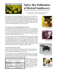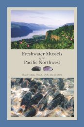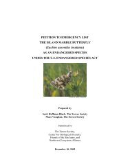
Outline of Quino Recovery Plan - The Xerces Society
Outline of Quino Recovery Plan - The Xerces Society
Outline of Quino Recovery Plan - The Xerces Society

You also want an ePaper? Increase the reach of your titles
YUMPU automatically turns print PDFs into web optimized ePapers that Google loves.
access because surrounding slopes are sometimes covered with dense chaparral.<br />
However, such relatively narrow zones (several meters) <strong>of</strong> closed-canopy<br />
chaparral are not considered to pose a significant barrier to <strong>Quino</strong> checkerspot<br />
dispersal (K. Osborne, G. Pratt, C. Parmesan, and M. Singer, pers. comm.).<br />
<strong>The</strong> proposed <strong>Recovery</strong> Unit is designed to provide landscape connectivity<br />
within the least developed central-coastal San Diego mesas and foothills, and is<br />
entirely within the San Diego County Multiple Species Habitat <strong>Plan</strong>ning Area.<br />
Interstates 5, 805, and 15, State Routes 52 and 67; and development in Mira<br />
Mesa, Ranch Penasquitos, and Scripps Miramar Ranch constrain the landscape<br />
connectivity <strong>of</strong> a network <strong>of</strong> otherwise suitable or restorable habitat patches. It<br />
may be possible to maintain landscape connectivity between Del Mar Mesa and<br />
Marine Corps Air Station Miramar via Los Penasquitos Canyon. Restoration <strong>of</strong><br />
landscape connectivity (or the equivalent <strong>of</strong> it) throughout the proposed<br />
<strong>Recovery</strong> Unit would require either technological solutions (see Restoration <strong>of</strong><br />
Landscape Connectivity section above), or very active management in<br />
perpetuity. <strong>The</strong> possibility <strong>of</strong> landscape connectivity with <strong>Recovery</strong> Units to the<br />
south and east depends on: protection <strong>of</strong> open space and enhancement <strong>of</strong><br />
landscape connectivity east <strong>of</strong> the proposed <strong>Recovery</strong> Unit in the vicinity <strong>of</strong><br />
State Route 67, San Vicente Reservoir, and Black Mountain, and the unknown<br />
condition <strong>of</strong> landscape connectivity to the southeast <strong>of</strong> the proposed <strong>Recovery</strong><br />
Unit (may require restoration). Most lowland areas from San Vicente Reservoir<br />
north to Iron Mountain and Mount Woodson are currently proposed for land<br />
development. To the maximum extent possible, the ecological connectivity <strong>of</strong><br />
this <strong>Recovery</strong> Unit to eastern wildlands should also be maintained to protect<br />
against indirect effects <strong>of</strong> nearby human occupancy and decrease the need for<br />
active management.<br />
Proposed Northwest San Diego <strong>Recovery</strong> Unit:<br />
This proposed <strong>Recovery</strong> Unit is located in northwestern San Diego and southern<br />
Orange Counties, including Marine Corps Base Camp Pendleton and adjacent<br />
reserve lands and undeveloped areas. No records <strong>of</strong> the <strong>Quino</strong> checkerspot are<br />
known from this proposed <strong>Recovery</strong> Unit; however, it has (or formerly had)<br />
characteristics <strong>of</strong> habitats that appear to have historically supported high<br />
densities <strong>of</strong> the <strong>Quino</strong> checkerspot in Southwestern San Diego County (Murphy<br />
and White 1984). <strong>The</strong> possibility <strong>of</strong> former occupancy by the <strong>Quino</strong> checkerspot<br />
59