Directional Recording of Swell from Distant Storms - Department of ...
Directional Recording of Swell from Distant Storms - Department of ...
Directional Recording of Swell from Distant Storms - Department of ...
Create successful ePaper yourself
Turn your PDF publications into a flip-book with our unique Google optimized e-Paper software.
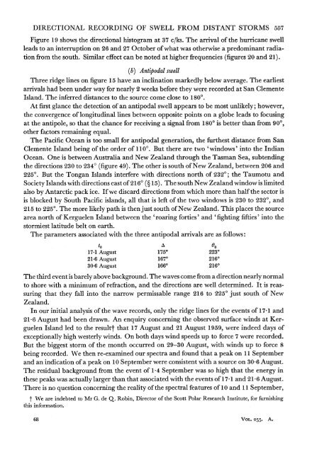
DIRECTIONAL RECORDING OF SWELL FROM DISTANT STORMS 557Figure 19 shows the directional histogram at 37 c/ks. The arrival <strong>of</strong> the hurricane swellleads to an interruption on 26 and 27 October <strong>of</strong> what was otherwise a predominant radiation<strong>from</strong> the south. Similar effect can be noted at higher frequencies (figures 20 and 21).(b) Antipodal swellThree ridge lines on figure 15 have an inclination markedly below average. The earliestarrivals had been under way for nearly 2 weeks before they were recorded at San ClementeIsland. The inferred distances to the source come close to 1800.At first glance the detection <strong>of</strong> an antipodal swell appears to be most unlikely; however,the convergence <strong>of</strong> longitudinal lines between opposite points on a globe leads to focusingat the antipole, so that the chance for receiving a signal <strong>from</strong> 1800 is better than <strong>from</strong> 900,other facto'rs remaining equal.The Pacific Ocean is too small for antipodal generation, the furthest distance <strong>from</strong> SanClemente Island being <strong>of</strong> the order <strong>of</strong> 1100. But there are two 'windows' into the IndianOcean. One is between Australia and New Zealand through the Tasman Sea, subtendingthe directions 230 to 2340 (figure 49). The other is south <strong>of</strong> New Zealand, between 206 and2250. But the Tongan Islands interfere with directions north <strong>of</strong> 2320; the Taumotu andSociety Islands with directions east <strong>of</strong> 2160 (? 15). The south New Zealand window is limitedalso by Antarctic pack ice. If we discard directions <strong>from</strong> which more than half the sector isis blocked by South Pacific islands, all that is left <strong>of</strong> the two windows is 230 to 2320, and215 to 2250. The more likely path is then just south <strong>of</strong> New Zealand. This places the sourcearea north <strong>of</strong> Kerguelen Island between the 'roaring forties' and 'fighting fifties' into thestormiest latitude belt on earth.The parameters associated with the three antipodal arrivals are as follows:to A Go17-1 August 1750 223021.6 August 1670 216030 6 August 1660 2160The third event is barely above background. The waves come <strong>from</strong> a direction nearly normalto shore with a minimum <strong>of</strong> refraction, and the directions are well determined. It is reassuringthat they fall into the narrow permissable range 216 to 2250 just south <strong>of</strong> NewZealand.In our initial analysis <strong>of</strong> the wave records, only the ridge lines for the events <strong>of</strong> 17-1 and21-6 August had been drawn. An enquiry concerning the observed surface winds at KerguelenIsland led to the resultt that 17 August and 21 August 1959, were indeed days <strong>of</strong>exceptionally high westerly winds. On both days wind speeds up to force 7 were recorded.But the biggest storm <strong>of</strong> the month occurred on 29-30 August, with winds up to force 8being recorded. We then re-examined our spectra and found that a peak on 11 Septemberand an indication <strong>of</strong> a peak on 10 September were -consistent with a source on 30-6 August.The residual background <strong>from</strong> the event <strong>of</strong> 1-4 September was so high that the energy inthese peaks was actually larger than that associated with the events <strong>of</strong> 17 1 and 21 6 August.There is no question concerning the reality <strong>of</strong> the spectral features <strong>of</strong> 10 and 11 September,t We are indebted to Mr G. de Q. Robin, Director <strong>of</strong> the Scott Polar Research Institute, for furnishingthis information.68 VOL. 255. A.


