Usar pâgs xvii-134 - ResearchGate
Usar pâgs xvii-134 - ResearchGate
Usar pâgs xvii-134 - ResearchGate
Create successful ePaper yourself
Turn your PDF publications into a flip-book with our unique Google optimized e-Paper software.
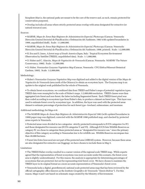
iosphere (that is, the national parks are meant to be the core of the reserve and, as such, remain protected forconservation purposes).• Overlap includes all areas where strictly protected areas overlap with areas designated for extractive (ornatural resource) uses.Sources:• MARNR, Mapa de Áreas Bajo Régimen de Administración Especial, Photocopy (Caracas, Venezuela:Dirección General Sectorial de Planificación y Ordenación del Ambiente, 1983 with updated boundaries in1999, unpublished draft). Scale: 1:1,000,000.• MARNR, Mapa de Áreas Bajo Régimen de Administración Especial, Photocopy (Caracas, Venezuela:Dirección General Sectorial de Planificación y Ordenación del Ambiente, 1998, printed). Scale: 1:2,000,000.• H. Eva and S. Jones, A forest map of South America (Ispra, Italy: Tropical Ecosystem EnvironmentObservation by Satellite (TREES), unpublished data). Scale: 1: 1,000,000.• O. Huber and C. Alarcón, Mapa de Vegetación de Venezuela (Caracas, Venezuela: MARNR/ The NatureConservancy, 1988). Scale: 1:2,000,000.• O. Huber, Venezuelan Guayana Vegetation Map (Caracas, Venezuela: CVG Edelca/Missouri BotanicalGardens, 1995). Scale: 1:2,000,000.Methodology:• Huber’s Venezuelan Guayana Vegetation Map was digitized and added to the digital version of the Mapa deVegetación de Venezuela (area north of the Orinoco) to obtain an ecosystem layer. The Guayana map is anupdate to the original work published for the whole of Venezuela.• To obtain forest ecosystems, we combined data from TREES and Huber’s maps of potential vegetation types.TREES data were resampled to the scale of Huber’s maps, 1:2,000,000 resolution. TREES classes were thenaggregated into forest and non-forest, the latter including fragmented forest. Each TREES forest pixel wasthen coded according to ecosystem type from Huber’s data, to produce a dataset on forest type. This layer wasused to estimate forest cover by ecosystem type. In addition, the layer was used with the protected areasdataset to estimate percentage of protection for each forest type –lowland, submontane, and montane.Additional methodology for Maps 4-6:• The MARNR Mapa de Áreas Bajo Régimen de Administración Especial 1983 (with updated boundaries in1999) paper map was digitized, corrected with the MARNR 1998 published map, and checked by protectedareas experts in Venezuela.• Protected areas were divided in two categories: strictly protected (corresponds to IUCN categories I to IV)and those designated for resource use (IUCN categories V and VI). Although IUCN lists Wildlife Reserves ascategory IV, we chose to categorize these protected areas as “designated for resource use,” since the primaryobjective of this category according to Venezuelan law is for wildlife use. Wildlife Reserves encompass lessthan 20,000 hectares.• Forest lots (lotes boscosos) are not part of the protected area (ABRAE) system. However, because these areasare also designated for extractive use (logging), we have chosen to include them in Map 5.Limitations• The TREES/Huber overlay resulted in a coarser version of the regional scale TREES map. While expertsagreed that the representation of forest ecosystems was more accurate under this scenario, the forest coverarea is slightly underestimated. For this reason, the analysis is appropriate for determining percentages ofecosystems that are protected, but not for representing total forest cover. We have chosen to maintain theTREES layer in its original format as a more accurate representation of Venezuela’s forest cover.• Venezuela lacks a digital, georeferenced, national scale protected areas map that has been reviewed by theofficial cartographic office (known as the Instituto Geográfico de Venezuela “Simón Bolívar”). For thisreason, Maps 4 and 5 are based on schematic maps created by the Ministry of Environment.90


