


You also want an ePaper? Increase the reach of your titles
YUMPU automatically turns print PDFs into web optimized ePapers that Google loves.
REPORT<br />
Italy, discoverability in practice<br />
by Gabriele Ciasullo, Giovanna<br />
Scaglione and Antonio Rotundo<br />
Data discoverability is one<br />
of the main tasks, next to<br />
availability and interoperability,<br />
that public policy makers and<br />
implementers should take into<br />
due consideration in order to<br />
foster access, use and re-use of<br />
public sector information (PSI),<br />
particularly in case of open data.<br />
Users shall be enabled<br />
to easily search and<br />
find data they need for<br />
the most different purposes.<br />
That is clearly highlighted in<br />
the introduction statements<br />
of the INSPIRE Directive,<br />
where we can read that “The<br />
loss of time and resources in<br />
searching for existing (spatial)<br />
data or establishing whether they<br />
may be used for a particular<br />
purpose is a key obstacle to the<br />
full exploitation of the data<br />
available”.<br />
Metadata and data portals/<br />
catalogues are essential assets to<br />
enable that data discoverability.<br />
In Italy, AgID (Agency for<br />
Digital Italy,) is in charge of<br />
managing the National Open<br />
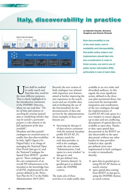
Data Portal (dati.gov.it,) and<br />
the National Catalogue for<br />
Spatial Data (RNDT - geodati.<br />
gov.it). These catalogues are<br />
the core components of an<br />
overall PSI infrastructure to be<br />
intended as the knowledge base<br />
of all PSI, implemented by the<br />
actions defined in the Three-<br />
Year Plan for ICT in the Public<br />
Administration 2019-<strong>2021</strong>.<br />
Recently the new version of<br />
both catalogues was released<br />
with important new features<br />
aimed at further improving the<br />
user experience in the search,<br />
access and use of public data<br />
and at facilitating the use of<br />
the functionalities for the<br />
documentation of data and<br />
services by the administrations.<br />
Some examples of these new<br />
features are:<br />
harvesting by dati.gov.it<br />
of data sources consistent<br />
with the national metadata<br />
profile DCAT-AP_IT;<br />
dataset search for<br />
each data provider, as<br />
well as for catalogue,<br />
under the new section<br />
“Administrations, Link<br />
opens in a new window” in<br />
dati.gov.it; and<br />
the pre-defined view<br />
for “priority datasets” in<br />
geodati.gov.it as defined<br />
under the INSPIRE<br />
context.<br />
The main aim of these<br />
activities is to make public data<br />
available to an ever wider and<br />
diversified audience. In this<br />
regard, the most significant<br />
action, defined in the threeyear<br />
plan mentioned above, has<br />
concerned the interoperable<br />
integration and coordination<br />
of the two catalogues through<br />
the implementation of<br />
GeoDCAT-AP, Link opens in a<br />
new window to ensure aligned,<br />
up-to-date and not conflicting<br />
descriptions of spatial data even<br />
available as open data. Thanks<br />
to that, open spatial data<br />
documented in the RNDT are<br />
also discoverable in the open<br />
data portal, without any other<br />
burden for data providers.<br />
Linked to that, specific<br />
pre-defined views were<br />
implemented in both catalogues<br />
in order to immediately<br />
identify:<br />
open data in geodati.gov.it,<br />
using DCAT-AP themes as<br />
search criteria;<br />
open spatial data coming<br />
from RNDT in dati.gov.it,<br />
using the INSPIRE themes<br />
as search criteria.<br />
14 <strong>GEOmedia</strong> n°3-<strong>2021</strong>


