


You also want an ePaper? Increase the reach of your titles
YUMPU automatically turns print PDFs into web optimized ePapers that Google loves.
REPORT<br />
Can you give examples of how public administrations<br />
in Italy can use GeoDCAT-AP today?<br />
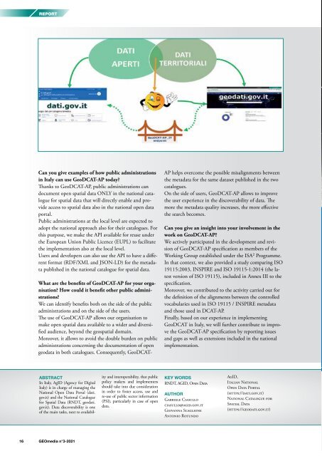
Thanks to GeoDCAT-AP, public administrations can<br />
document open spatial data ONLY in the national catalogue<br />
for spatial data that will directly enable and provide<br />
access to spatial data also in the national open data<br />
portal.<br />
Public administrations at the local level are expected to<br />
adopt the national approach also for their catalogues. For<br />
this purpose, we make the API available for reuse under<br />
the European Union Public Licence (EUPL) to facilitate<br />
the implementation also at the local level.<br />
Users and developers can also use the API to have a different<br />
format (RDF/XML and JSON-LD) for the metadata<br />
published in the national catalogue for spatial data.<br />
What are the benefits of GeoDCAT-AP for your organisation?<br />
How could it benefit other public administrations?<br />
We can identify benefits both on the side of the public<br />
administrations and on the side of the users.<br />
The use of GeoDCAT-AP allows our organisation to<br />
make open spatial data available to a wider and diversified<br />
audience, beyond the geospatial domain.<br />
Moreover, it allows to avoid the double burden on public<br />
administrations concerning the documentation of open<br />
geodata in both catalogues. Consequently, GeoDCAT-<br />
AP helps overcome the possible misalignments between<br />
the metadata for the same dataset published in the two<br />
catalogues.<br />
On the side of users, GeoDCAT-AP allows to improve<br />
the user experience in the discoverability of data. The<br />
more the metadata quality increases, the more effective<br />
the search becomes.<br />
Can you give an insight into your involvement in the<br />
work on GeoDCAT-AP?<br />
We actively participated in the development and revision<br />
of GeoDCAT-AP specification as members of the<br />
Working Group established under the ISA² Programme.<br />
In that context, we also provided a study comparing ISO<br />
19115:2003, INSPIRE and ISO 19115-1:2014 (the latest<br />
version of ISO 19115), included in Annex III to the<br />
specification.<br />
Moreover, we contributed to the activity carried out for<br />
the definition of the alignments between the controlled<br />
vocabularies used in ISO 19115 / INSPIRE metadata<br />
and those used in DCAT-AP.<br />
Finally, based on our experience in implementing<br />
GeoDCAT in Italy, we will further contribute to improve<br />
the GeoDCAT-AP specification by reporting issues<br />
and gaps as well as extensions included in the national<br />
implementation.<br />
ABSTRACT<br />
In Italy, AgID (Agency for Digital<br />
Italy) is in charge of managing the<br />
National Open Data Portal (dati.<br />
gov.it) and the National Catalogue<br />
for Spatial Data (RNDT, geodati.<br />
gov.it). Data discoverability is one<br />
of the main tasks, next to availability<br />
and interoperability, that public<br />
policy makers and implementers<br />
should take into due consideration<br />
in order to foster access, use and<br />
re-use of public sector information<br />
(PSI), particularly in case of open<br />
data.<br />
KEY WORDS<br />
RNDT, AGID, Open Data<br />
AUTHOR<br />
Gabriele Ciasullo<br />
ciasullo@agid.gov.it<br />
Giovanna Scaglione<br />
Antonio Rotundo<br />
AgID,<br />
Italian National<br />
Open Data Portal<br />
(https://dati.gov.it)<br />
National Catalogue for<br />
Spatial Data<br />
(https://geodati.gov.it)<br />
16 <strong>GEOmedia</strong> n°3-<strong>2021</strong>


