Bogue Banks Beach - Carteret County Shore Protection Office
Bogue Banks Beach - Carteret County Shore Protection Office
Bogue Banks Beach - Carteret County Shore Protection Office
You also want an ePaper? Increase the reach of your titles
YUMPU automatically turns print PDFs into web optimized ePapers that Google loves.
Final Report <strong>Bogue</strong> <strong>Banks</strong> <strong>Beach</strong> & Nearshore Mapping Program<br />
Periodic Survey Evaluation<br />
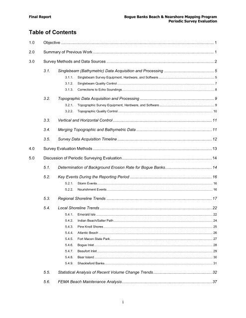
Table of Contents<br />
1.0 Objective .......................................................................................................................................... 1<br />
2.0 Summary of Previous Work ............................................................................................................. 1<br />
3.0 Survey Methods and Data Sources ................................................................................................. 2<br />
3.1. Singlebeam (Bathymetric) Data Acquisition and Processing ............................................. 5<br />
3.1.1. Singlebeam Survey Equipment, Hardware, and Software ............................................................. 5<br />
3.1.2. Singlebeam Quality Control .......................................................................................................... 7<br />
3.1.3. Corrections to Echo Soundings..................................................................................................... 8<br />
3.2. Topographic Data Acquisition and Processing ................................................................... 9<br />
3.2.1. Topographic Survey Equipment, Hardware, and Software ............................................................ 9<br />
3.2.2. Topographic Quality Control ....................................................................................................... 10<br />
3.3. Vertical and Horizontal Control ......................................................................................... 11<br />
3.4. Merging Topographic and Bathymetric Data .................................................................... 11<br />
3.5. Survey Data Acquisition Timeline ..................................................................................... 12<br />
4.0 Survey Evaluation Methods ........................................................................................................... 13<br />
5.0 Discussion of Periodic Surveying Evaluation ................................................................................. 14<br />
5.1. Determination of Background Erosion Rate for <strong>Bogue</strong> <strong>Banks</strong> .......................................... 14<br />
5.2. Key Events During the Reporting Period .......................................................................... 16<br />
5.2.1. Storm Events .............................................................................................................................. 16<br />
5.2.2. Nourishment Events ................................................................................................................... 16<br />
5.3. Regional <strong>Shore</strong>line Trends ............................................................................................... 17<br />
5.4. Local <strong>Shore</strong>line Trends ..................................................................................................... 22<br />
5.4.1. Emerald Isle ............................................................................................................................... 22<br />
5.4.2. Indian <strong>Beach</strong>/Salter Path ............................................................................................................ 24<br />
5.4.3. Pine Knoll <strong>Shore</strong>s ....................................................................................................................... 25<br />
5.4.4. Atlantic <strong>Beach</strong> ............................................................................................................................ 26<br />
5.4.5. Fort Macon State Park ................................................................................................................ 27<br />
5.4.6. <strong>Bogue</strong> Inlet ................................................................................................................................. 28<br />
5.4.7. Beaufort Inlet .............................................................................................................................. 29<br />
5.4.8. Bear Island ................................................................................................................................. 30<br />
5.4.9. Shackleford <strong>Banks</strong> ...................................................................................................................... 31<br />
5.5. Statistical Analysis of Recent Volume Change Trends ..................................................... 32<br />
5.6. FEMA <strong>Beach</strong> Maintenance Analysis ................................................................................. 37<br />
i


