1923%20Memoir%20on%20Maps%20of%20Chinese%20Turkistan%20by%20Stein%20s
1923%20Memoir%20on%20Maps%20of%20Chinese%20Turkistan%20by%20Stein%20s
1923%20Memoir%20on%20Maps%20of%20Chinese%20Turkistan%20by%20Stein%20s
You also want an ePaper? Increase the reach of your titles
YUMPU automatically turns print PDFs into web optimized ePapers that Google loves.
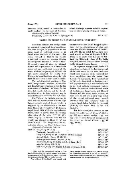
Chap. IV] NOTES ON SHEET No. 4 67<br />
occasional floods, permit of cultivation in subsoil drainage eupporte sufficient vegetosmall<br />
patches. In the basin of Yai-dobe tion for winter grazing of Kirghiz camps.<br />
A~tro?io~1111irnl/~y O~.RM?~PI/ /atit~cl/r.<br />
Tunguzluk, C. 346 (to N.W. of spring; C. 4)<br />
NOTES ON SHEET No. 5 (YANCiI-HISSAR, YARKAND)<br />
This sheet embodies the surveys made<br />
on a series of routes on all three expeditions.<br />
The area s~lrveyed is proportionate to the<br />
great extent of cultivated ground to be<br />
found within the limits of this sheet. The<br />
routes followed in 1900-01 lay mainly<br />
\\.ithi11 and between the populous districts<br />
of Kishgar and Yirkand. ' Those of 1906-<br />
08 covered ground all along the Yirkand<br />
river as well as portions of the hill areain the<br />
the observations of Cav. De Filippi's expedi-<br />
tion. For the determination of other psi-<br />
tions the latitude observations of 1900-01<br />
and 1906-08, as noted below, have been<br />
used, as well as those of Captain H. H. P.<br />
Deasy on his route from Kishgar to Yir-<br />
kand ria Khin-arlk; those of Dr. Hedin<br />
along the Yirkand river, and others recorded<br />
in the Yirkand Mission Report.<br />
In respect of topographical details full<br />
north-west and south-west corners of the advantage was tab-en-of the fact that several<br />
sheet, while 011 the journey of 1913-15, the of the chief routes in this sheet were sur-<br />
new routes surveyed lay chiefly from veyed more tlian once in the course of my<br />
Kishgar to MariI-bishi and along the right three expeditions (see the routes from<br />
bank of the Yirkand river below Yirkand. Kishgar to Karghalik; from Kizil-dawin<br />
The well-determined positions of Yhr- to Yirkand; from Abid to Kishgar, etc.).<br />
kand, Yangi-hissir, Kishgar, Maril-bishi The physical character of the area comprised<br />
and Karghalik served as base points for the in the sheet exhibits considerable variety.<br />
construction of the sheet. Of these, the last Besides the compact well-cultivated tracts<br />
three fall outside its limits and for the ob- of the Kishgar, Yangi-hissir, and Yirkand<br />
servations which fix them reference may be districts and the minor oases between, or<br />
made to the Notes on Sheets Nos. 2, 6 and 8. near, them nre find here a fairly large outlier<br />
For Yirkand the latitude observed in of the central drift-sand desert around<br />
1900 and 1906 at our quarters of Chini-bigh Ordam-pidshih and extensive belts of<br />
(about one mile south of the city walls) is riverine jungle below Faizibid in the north<br />
supported by the observations of the Yir- (B-D. I) and below Kbfid in the east<br />
kand Mission of 1873 and Sir P. De Filippi's (C,D. 2).<br />
expedition of 1914, while the longitude now For brief descriptive accounts of the<br />
shown, which is derived from the wireless routes followed by me, cf. R~rins of Kholan,<br />
observation of the latter (77' 15' 46^), pp. 133 sqq.; Desert Catkay, i. pp. 146<br />
differs only by 15 seconds from the oxle sqq.; for the early historical topography of<br />
which was adopted in Sheet 11 of our<br />
1906-08 map. ' For Yangi-hissfir the coordinates<br />
adopted are those deduced from<br />
Asfronomicnlly ohserverl lalittldes.<br />
the region, see dacie?~t Kl/otnw, i. pp. 42<br />
sqq., 86 sqq.<br />
1900-01. Eski, Camp 25 (A. 1)<br />
Yamin-yir, Camp 24 (A. 2)<br />
...<br />
. . . . .<br />
39" 33' 59"<br />
39" 25' 17"<br />
Dong-arik, Camp 25 (B. 2 ; symbol omitted in map)<br />
Achchik-bizir, Camp 26 (B. 2) ...<br />
39" 16' 1"<br />
:IS0 7' 19"<br />
Ordam-pidshih-mazir, Camp 27 (B. 3) . . .<br />
Kizil-biizir, Camp 29 (half a mile S. of Sarai ; B. 3)<br />
Ak-rabit, Camp 111 (B. 3) . ...<br />
3S0 55' 34''<br />
38" 39' 20.<br />
38" 32' 39"<br />
Kok-rabit, Camp 30 (beyond S.E. end of village; B. 4) 38' 25' 40"<br />
1 I have kept the conventional spelling of Tir- I may mention that his plane-table of 1900-01 showed<br />
ksnd witliont using the hyphen between the clearl~ for Yirkand the longitude of 57' 19' lo", a remerk-<br />
recognizable parts of the componnd name (T-ir-kand, ably close approach to the true one, considering the<br />
i. 8. settlemer~t by the ' Yir ' or eroded ravine). small scale oeed and other circomstance~.<br />
& evidence of Rim Bingh'n very careful work


