total of 10 pages only may be xeroxed - Memorial University's Digital ...
total of 10 pages only may be xeroxed - Memorial University's Digital ...
total of 10 pages only may be xeroxed - Memorial University's Digital ...
Create successful ePaper yourself
Turn your PDF publications into a flip-book with our unique Google optimized e-Paper software.
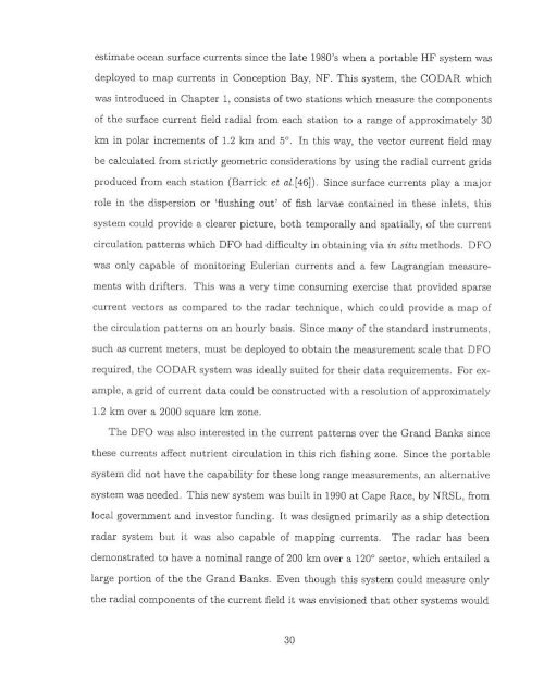
estimate ocean surface axrents since the late 1980's when a portable HF system anu<br />
deployed to map currents in Conception Bay, NF. This system, the CODAR which<br />
w introduced in Chapter 1, consists <strong>of</strong> two stations which memure the components<br />
<strong>of</strong> the surface current Beld radial kom each station to a range <strong>of</strong> approximately 30<br />
km in polar increments <strong>of</strong> 1.2 km and 5O. In this was the -tor eurwt &Id <strong>may</strong><br />
<strong>be</strong> calculated fmm strictly geometric considerations by using the radid current pids<br />
produced fmm each station (Barrik cf a1[46]). Since surface eurrene play a major<br />
roie in the dispersion or 'flmhing out' <strong>of</strong> fish larwie contained in these inlets, this<br />
system auld provide a clears picture, both temporally and spatially, <strong>of</strong> the current<br />
circulation patterns which DFU bad di5eulty in obtambg via in dtt methods. DFO<br />
was <strong>only</strong> capable <strong>of</strong> monitoring Eulerian ments and a few Lagra.gian measure<br />
ments with &drifters. This was a wry time consuming exercise thst provlded sparse<br />
current vectors as compared to the radar technique. which could provide a map <strong>of</strong><br />
the CircuLation patteras an an hourly basis. Since many <strong>of</strong> the standard instruments,<br />
such as current meten, must <strong>be</strong> deployed to obtam the memurement scale that DFO<br />
required, the CODAR system w a ideally suited for their data requirements. For ex-<br />
ample, a gtid <strong>of</strong> current data could he constructed with a resolut~on <strong>of</strong> appmxhe.tely<br />
1.2 km wer a 2000 square km zone.<br />
The DFO m & interested in the -rent pattern over the Grand Banks since<br />
these currents &ct nutrient circulation in this rich fishing zone. Since the portable<br />
system d~d not haw the capability for these long range measurements, an alternative<br />
system was needed. This new system anu built in 1990 at Cape Race, by NRSL. 6om<br />
local gownment and inwstor hmding. It was designed primarily as a ship detection<br />
radar system but it was & capable <strong>of</strong> mapping currents. The radar has <strong>be</strong>en<br />
demonttrated to have a nominal range <strong>of</strong> 200 km over a 120' %tor, which entailed a<br />
large portion <strong>of</strong> the the Grand B ah. Even though this system could measure <strong>only</strong><br />
the radial components <strong>of</strong> the current fieid it was envisioned that other systems would


