

EuroSDR Projects - Host Ireland
EuroSDR Projects - Host Ireland
EuroSDR Projects - Host Ireland

Create successful ePaper yourself
Turn your PDF publications into a flip-book with our unique Google optimized e-Paper software.
4.1.3 Classification<br />
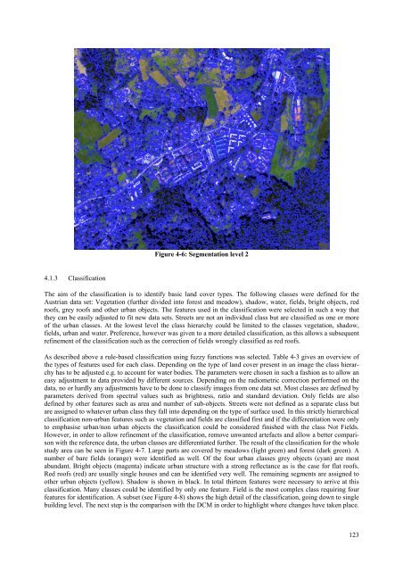
Figure 4-6: Segmentation level 2<br />
The aim of the classification is to identify basic land cover types. The following classes were defined for the<br />
Austrian data set: Vegetation (further divided into forest and meadow), shadow, water, fields, bright objects, red<br />
roofs, grey roofs and other urban objects. The features used in the classification were selected in such a way that<br />
they can be easily adjusted to fit new data sets. Streets are not an individual class but are classified as one or more<br />
of the urban classes. At the lowest level the class hierarchy could be limited to the classes vegetation, shadow,<br />
fields, urban and water. Preference, however was given to a more detailed classification, as this allows a subsequent<br />
refinement of the classification such as the correction of fields wrongly classified as red roofs.<br />
As described above a rule-based classification using fuzzy functions was selected. Table 4-3 gives an overview of<br />
the types of features used for each class. Depending on the type of land cover present in an image the class hierarchy<br />
has to be adjusted e.g. to account for water bodies. The parameters were chosen in such a fashion as to allow an<br />
easy adjustment to data provided by different sources. Depending on the radiometric correction performed on the<br />
data, no or hardly any adjustments have to be done to classify images from one data set. Most classes are defined by<br />
parameters derived from spectral values such as brightness, ratio and standard deviation. Only fields are also<br />
defined by other features such as area and number of sub-objects. Streets were not defined as a separate class but<br />
are assigned to whatever urban class they fall into depending on the type of surface used. In this strictly hierarchical<br />
classification non-urban features such as vegetation and fields are classified first and if the differentiation were only<br />
to emphasise urban/non urban objects the classification could be considered finished with the class Not Fields.<br />
However, in order to allow refinement of the classification, remove unwanted artefacts and allow a better comparison<br />
with the reference data, the urban classes are differentiated further. The result of the classification for the whole<br />
study area can be seen in Figure 4-7. Large parts are covered by meadows (light green) and forest (dark green). A<br />
number of bare fields (orange) were identified as well. Of the four urban classes grey objects (cyan) are most<br />
abundant. Bright objects (magenta) indicate urban structure with a strong reflectance as is the case for flat roofs.<br />
Red roofs (red) are usually single houses and can be identified very well. The remaining segments are assigned to<br />
other urban objects (yellow). Shadow is shown in black. In total thirteen features were necessary to arrive at this<br />
classification. Many classes could be identified by only one feature. Field is the most complex class requiring four<br />
features for identification. A subset (see Figure 4-8) shows the high detail of the classification, going down to single<br />
building level. The next step is the comparison with the DCM in order to highlight where changes have taken place.<br />
123


