Final Technical Report - weADAPT
Final Technical Report - weADAPT
Final Technical Report - weADAPT
- No tags were found...

Create successful ePaper yourself
Turn your PDF publications into a flip-book with our unique Google optimized e-Paper software.
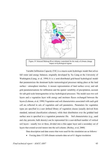
Figure 19: Selected Mekong River tributary watersheds for the study of climate change<br />
impact on hydrological regime<br />
Variable Infiltration Capacity (VIC) is a macro-scale hydrologic model that solves<br />
full water and energy balances, originally developed by Xu Liang at the University of<br />
Washington.(Liang, et al, 1994) It is a semi-distributed grid-based hydrological model<br />
that parameterizes the dominant hydro meteorological processes taking place at the land<br />
surface - atmosphere interface. A mosaic representation of land surface cover, and sub<br />
grid parameterizations for infiltration and the spatial variability of precipitation, account<br />
for sub-grid scale heterogeneities in key hydrological processes. The model uses two soil<br />
layers and a vegetation layer with energy and moisture fluxes exchanged between the<br />
layers.(Lohman, et al, 1998) Vegetation and soil characteristics associated with each grid<br />
cell are reflected in sets of vegetation and soil parameters. Parameters for vegetation<br />
types are specified in a user defined library of vegetation classes (usually derived from<br />
standard, national classification schemes), while their distribution over the gridded land<br />
surface area is specified in a vegetation parameter file. Soil characteristics (e.g., sand<br />
and clay percents, bulk density) can be represented for a user-defined number of vertical<br />
soil layers - usually two or three, divided into a thin upper layer and a secondary set of<br />
layers that extend several meters into the soil column. (Richey, et al, 2000)<br />
Data description and data source that were used for the simulation are as follows:<br />
• Forcing data: CCAM climate scenario data set at 0.1 degree resolution<br />
<strong>Final</strong> technical report – AIACC AS07 43