Assessment of the Bill Emerson Memorial Bridge - FTP Directory ...
Assessment of the Bill Emerson Memorial Bridge - FTP Directory ...
Assessment of the Bill Emerson Memorial Bridge - FTP Directory ...
- No tags were found...
You also want an ePaper? Increase the reach of your titles
YUMPU automatically turns print PDFs into web optimized ePapers that Google loves.
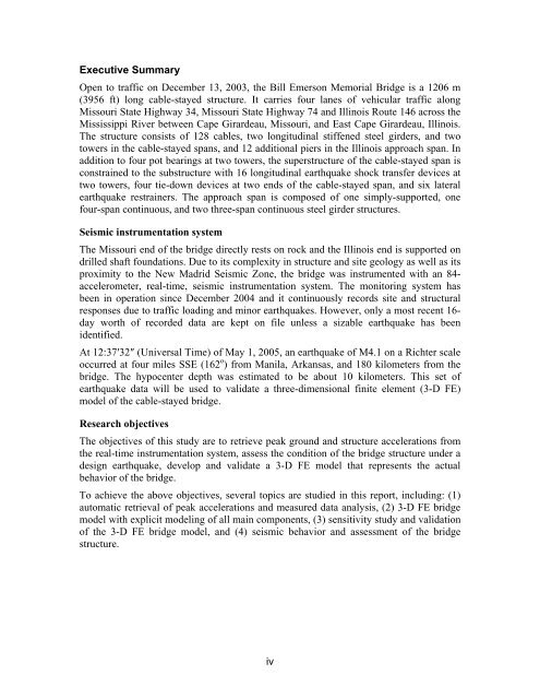
Executive SummaryOpen to traffic on December 13, 2003, <strong>the</strong> <strong>Bill</strong> <strong>Emerson</strong> <strong>Memorial</strong> <strong>Bridge</strong> is a 1206 m(3956 ft) long cable-stayed structure. It carries four lanes <strong>of</strong> vehicular traffic alongMissouri State Highway 34, Missouri State Highway 74 and Illinois Route 146 across <strong>the</strong>Mississippi River between Cape Girardeau, Missouri, and East Cape Girardeau, Illinois.The structure consists <strong>of</strong> 128 cables, two longitudinal stiffened steel girders, and twotowers in <strong>the</strong> cable-stayed spans, and 12 additional piers in <strong>the</strong> Illinois approach span. Inaddition to four pot bearings at two towers, <strong>the</strong> superstructure <strong>of</strong> <strong>the</strong> cable-stayed span isconstrained to <strong>the</strong> substructure with 16 longitudinal earthquake shock transfer devices attwo towers, four tie-down devices at two ends <strong>of</strong> <strong>the</strong> cable-stayed span, and six lateralearthquake restrainers. The approach span is composed <strong>of</strong> one simply-supported, onefour-span continuous, and two three-span continuous steel girder structures.Seismic instrumentation systemThe Missouri end <strong>of</strong> <strong>the</strong> bridge directly rests on rock and <strong>the</strong> Illinois end is supported ondrilled shaft foundations. Due to its complexity in structure and site geology as well as itsproximity to <strong>the</strong> New Madrid Seismic Zone, <strong>the</strong> bridge was instrumented with an 84-accelerometer, real-time, seismic instrumentation system. The monitoring system hasbeen in operation since December 2004 and it continuously records site and structuralresponses due to traffic loading and minor earthquakes. However, only a most recent 16-day worth <strong>of</strong> recorded data are kept on file unless a sizable earthquake has beenidentified.At 12:37′32″ (Universal Time) <strong>of</strong> May 1, 2005, an earthquake <strong>of</strong> M4.1 on a Richter scaleoccurred at four miles SSE (162 o ) from Manila, Arkansas, and 180 kilometers from <strong>the</strong>bridge. The hypocenter depth was estimated to be about 10 kilometers. This set <strong>of</strong>earthquake data will be used to validate a three-dimensional finite element (3-D FE)model <strong>of</strong> <strong>the</strong> cable-stayed bridge.Research objectivesThe objectives <strong>of</strong> this study are to retrieve peak ground and structure accelerations from<strong>the</strong> real-time instrumentation system, assess <strong>the</strong> condition <strong>of</strong> <strong>the</strong> bridge structure under adesign earthquake, develop and validate a 3-D FE model that represents <strong>the</strong> actualbehavior <strong>of</strong> <strong>the</strong> bridge.To achieve <strong>the</strong> above objectives, several topics are studied in this report, including: (1)automatic retrieval <strong>of</strong> peak accelerations and measured data analysis, (2) 3-D FE bridgemodel with explicit modeling <strong>of</strong> all main components, (3) sensitivity study and validation<strong>of</strong> <strong>the</strong> 3-D FE bridge model, and (4) seismic behavior and assessment <strong>of</strong> <strong>the</strong> bridgestructure.iv


