F2 - ATST
F2 - ATST
F2 - ATST
Create successful ePaper yourself
Turn your PDF publications into a flip-book with our unique Google optimized e-Paper software.
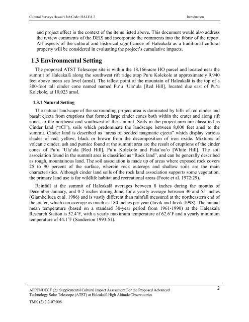
Cultural Surveys Hawai‘i Job Code: HALEA 2Introductionand project effect in the context of the items listed above. This document would also addressthe review comments of the DEIS and incorporate the comments into the fabric of the report.All aspects of the cultural and historical significance of Haleakalā as a traditional culturalproperty will be considered in evaluating the project’s cumulative impacts.1.3 Environmental SettingThe proposed <strong>ATST</strong> Telescope site is within the 18.166-acre HO parcel and located near thesummit of Haleakalā along the southwest rift ridge atop Pu‘u Kolekole at approximately 9,940feet above mean sea level (amsl). The tallest point of the mountain of Haleakalā is the top of a300-foot tall cinder cone named named Pu‘u ‘Ula‘ula [Red Hill], located due east of Pu‘uKolekole, at 10,023 amsl.1.3.1 Natural SettingThe natural landscape of the surrounding project area is dominated by hills of red cinder andbasalt ejecta from eruptions that formed large cinder cones both within the crater and along riftzones to the northeast and southwest of the summit. Soils in the project area are classified asCinder land (“rCl”), soils which predominate the landscape between 8,000 feet amsl to thesummit. Cinder land is described as “areas of bedded magmatic ejecta” which display variousshades of red, yellow, black or brown from the decomposition of iron oxide. Mixtures ofvolcanic cinder, ash and pumice found at the summit area are the result of eruptions of the cindercones of Pu‘u ‘Ula‘ula [Red Hill], Pu‘u Kolekole and Paka‘oa‘o [White Hill]. The soilassociation found in the summit area is classified as “Rock land”, and can be generally describedas rough, mountainous land. The soil association is made up of areas where exposed rock covers25 to 90 percent of the surface, wherein rock outcrops and shallow soils are the maincharacteristics. Although cinder land soils of the rock land association supports some vegetation,the primary land use is for wildlife habitat and recreational areas (Foote et al. 1972:29).Rainfall at the summit of Haleakalā averages between 8 inches during the months ofDecember-January, and 0-2 inches during June, for a yearly average between 30 and 55 inches(Giambelluca et al. 1986) and is vastly different than rainfall measured at the northeastern end ofthe crater, which can average as much as 180 inches per year (Juvik and Juvik 1998). The annualmean temperature (based on a standard 30-year period from 1961-1990) at the HaleakalāResearch Station is 52.4˚F, with a yearly maximum temperature of 62.6˚F and a yearly minimumtemperature of 44.1˚F (Sanderson 1993:51).APPENDIX F (2): Supplemental Cultural Impact Assessment For the Proposed AdvancedTechnology Solar Telescope (<strong>ATST</strong>) at Haleakalā High Altitude ObservatoriesTMK (2) 2-2-07:0082


