

1 Background - mountain.PROJECTS
1 Background - mountain.PROJECTS
1 Background - mountain.PROJECTS

Create successful ePaper yourself
Turn your PDF publications into a flip-book with our unique Google optimized e-Paper software.
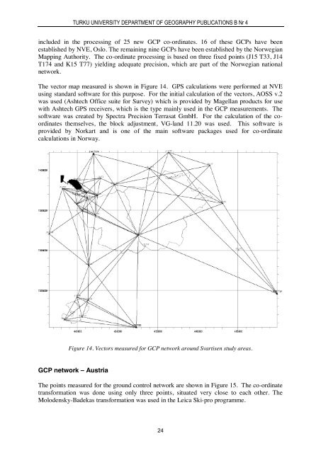
TURKU UNIVERSITY DEPARTMENT OF GEOGRAPHY PUBLICATIONS B Nr 4included in the processing of 25 new GCP co-ordinates. 16 of these GCPs have beenestablished by NVE, Oslo. The remaining nine GCPs have been established by the NorwegianMapping Authority. The co-ordinate processing is based on three fixed points (J15 T33, J14T174 and K15 T77) yielding adequate precision, which are part of the Norwegian nationalnetwork.The vector map measured is shown in Figure 14. GPS calculations were performed at NVEusing standard software for this purpose. For the initial calculation of the vectors, AOSS v.2was used (Ashtech Office suite for Survey) which is provided by Magellan products for usewith Ashtech GPS receivers, which is the type mainly used in the GCP measurements. Thesoftware was created by Spectra Precision Terrasat GmbH. For the calculation of the coordinatesthemselves, the block adjustment, VG-land 11.20 was used. This software isprovided by Norkart and is one of the main software packages used for co-ordinatecalculations in Norway.Figure 14. Vectors measured for GCP network around Svartisen study areas.GCP network – AustriaThe points measured for the ground control network are shown in Figure 15. The co-ordinatetransformation was done using only three points, situated very close to each other. TheMolodensky-Badekas transformation was used in the Leica Ski-pro programme.24


