1 Background - mountain.PROJECTS
1 Background - mountain.PROJECTS
1 Background - mountain.PROJECTS
You also want an ePaper? Increase the reach of your titles
YUMPU automatically turns print PDFs into web optimized ePapers that Google loves.
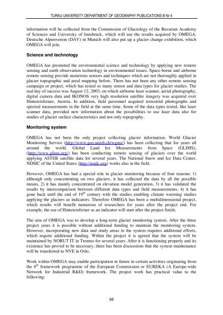
TURKU UNIVERSITY DEPARTMENT OF GEOGRAPHY PUBLICATIONS B Nr 4information will be collected from the Commission of Glaciology of the Bavarian Academyof Sciences and University of Innsbruck, which will use the results acquired by OMEGA.Deutsche Alpenverein (DAV) in Munich will also put up a glacier change exhibition, whichOMEGA will join.Science and technologyOMEGA has promoted the environmental science and technology by applying new remotesensing and earth observation technology in environmental issues. Space-borne and airborneremote sensing provide numerous sensors and techniques which are not thoroughly applied inglacier topographic and areal mapping before. There has not been any other remote sensingcampaign or project, which has tested so many sensor and data types for glacier studies. Thereal day of success was August 12, 2003, on which airborne laser scanner, aerial photography,digital camera data and IKONOS very high resolution satellite imagery was acquired overHintereisferner, Austria. In addition, field personnel acquired terrestrial photographs andspectral measurements in the field at the same time. Some of the data types tested, like laserscanner data, provided new information about the possibilities to use laser data also forstudies of glacier surface characteristics and not only topography.Monitoring systemOMEGA has not been the only project collecting glacier information. World GlacierMonitoring Service (http://www.geo.unizh.ch/wgms/) has been collecting that for years allaround the world. Global Land Ice Measurements from Space (GLIMS),(http://www.glims.org/) has been conducting remote sensing of glaciers over the worldapplying ASTER satellite data for several years. The National Snow and Ice Data Center,NDSIC of the United States (http://nsidc.org) works also in the field.However, OMEGA has had a special role in glacier monitoring because of four reasons: 1)although only concentrating on two glaciers, it has collected the data by all the possiblemeans, 2) it has mainly concentrated on elevation model generation, 3) it has validated theresults by intercomparison between different data types and field measurements, 4) it hasgone back until the end of 19 th century with the studies enabling climate warming studiesapplying the glaciers as indicators. Therefore OMEGA has been a multidimensional project,which results will benefit numerous of researchers for years after the project end. Forexample, the use of Hintereisferner as an indicator will start after the project finish.The aim of OMEGA was to develop a long-term glacier monitoring system. After the threeproject years it is possible without additional funding to maintain the monitoring system.However, incorporating new data and study areas in the system requires additional efforts,which require additional funding. Within the project it is agreed that the system will bemaintained by NORUT IT in Tromso for several years. After it is functioning properly and itsexistence has proved to be necessary, there has been discussions that the system maintenancewill be transferred to NVE in Oslo.Work within OMEGA may enable participation in future in certain activities originating fromthe 6 th framework programme of the European Commission or EUREKA (A Europe-wideNetwork for Industrial R&D) framework. The project work has practical value to thefollowing:68


