1 Background - mountain.PROJECTS
1 Background - mountain.PROJECTS
1 Background - mountain.PROJECTS
You also want an ePaper? Increase the reach of your titles
YUMPU automatically turns print PDFs into web optimized ePapers that Google loves.
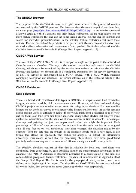
PETRI PELLIKKA AND KARI KAJUUTTI (ED)The OMEGA BrowserThe purpose of the OMEGA Browser is to give users access to the glacial informationaccumulated by the OMEGA partners. The browser gives the user a graphical user interface,on a web page (http://gin4.itek.norut.no:8080/EUMap/OMEGA.jsp), to browse the content ofa known catalog, with it’s datasets and their feature collections. As the user selects one ormore feature collections the user can set some search criteria (e.g. the area of interest) andsearch for individual products/features in the selected feature collections that meet thesecriteria. Further, for each of the products in the query result, the user can extract and/or viewdetailed attribute information and data content of each product. For further information of theOMEGA Browser, see Deliverable 11 (Omega Final Report: Appendix 13).OMEGA Web ServiceThe role of the OMEGA Web Service is to support a single access point to the network ofData Servers and Catalogs. The key to the service content is a reference to an OMEGACatalog, which may be submitted by the service user (which in this case the OMEGABrowser application), or alternatively is a configured parameter for the service deploymentset-up. The service is implemented as a SOAP service, with a W3C WSDL standardcomplying description and interface. For further information of the technical details of theWeb Service, see Deliverable 11 (Omega Final Report: Appendix 13).OMEGA DatabaseData selectionThere is a broad scale of different data types in OMEGA i.e. maps, several kind of satelliteimages, elevation models, field measurements etc. However, all data collected duringOMEGA project are not suitable and/or useful for being in the database. E.g. raw satelliteimages are not useful for an end user as georectified images are. However, the border betweenuseful and not useful is difficult to define. If one would think from a historical point of viewand the focus is on long-term monitoring and global change, then all data that can give somequalitative information about the situation at some moment in time is valuable. For exampledrawings and paintings or just raw unprocessed radar data might be important. Eachprocessing or “filtering” step pushes us further away from the truth that lies in the originaldata. If one focuses on just monitoring short-time changes, the situation might be theopposite. Then the data that are present in the database should be in a very ready-to-useformat that allows the specialist, who makes the analysis, to extract the informationeffectively. This means as well that the processing chain should have been pre-definedprecisely and as a consequence the number of different data types should be very limited.The OMEGA database consists of data that is valuable for both long -and short-termmonitoring. Data contributed by each OMEGA partner and subcontractors are present in thedatabase. The OMEGA database is structured according to a classification of the data intocertain dataset groups and feature collections. The data list is represented in Appendix 20 ofthe Omega Final Report. The file formats for the geographical data types to be used weredefined at the beginning of the project. The shapefile and GeoTIFF file formats were selectedfor vector (point, line, polygon) and raster (regular grid) data types respectively.57


