underline-strikeout version of the final draft ordinance - Pima County ...
underline-strikeout version of the final draft ordinance - Pima County ...
underline-strikeout version of the final draft ordinance - Pima County ...

You also want an ePaper? Increase the reach of your titles
YUMPU automatically turns print PDFs into web optimized ePapers that Google loves.
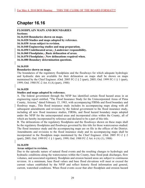
For May 4, 2010 BOS HearingTHIS THE CLERK OF THE BOARD FORMAT!!!Chapter 16.16FLOODPLAIN MAPS AND BOUNDARIESSections:16.16.010 Boundaries shown on maps.16.16.020 Studies and maps adopted by reference.16.16.030 Areas subject to revision.16.16.040 Engineering studies and map preparation.16.16.050 Undelineated areas - Landowner responsibility.16.16.060 Floodplains - Basic delineation <strong>of</strong> areas.16.16.070 Floodplains - New delineations required when.16.16.080 Boundary determination questions.16.16.010Boundaries shown on maps.The boundaries <strong>of</strong> <strong>the</strong> regulatory floodplains and <strong>the</strong> floodways for which adequate hydrologicand hydraulic data are available for <strong>the</strong>ir delineation on maps shall be shown on mapsmaintained by <strong>the</strong> Chief Engineer. (Ord. 2005 FC-2 § 2 (part), 2005; Ord. 1999 FC-1 § 1 (part),1999; Ord. 1988 FC-2 Art. 6 (A) (part), 1988)16.16.020Studies and maps adopted by reference.A. The federal government through <strong>the</strong> NFIP has identified certain flood hazard areas in anengineering report entitled, "The Flood Insurance Study for <strong>the</strong> Unincorporated Areas <strong>of</strong> <strong>Pima</strong><strong>County</strong>, Arizona," dated February 15, 1983, with accompanying FIRMs and flood boundary andfloodway maps., This flood insurance study includes its accompanying maps along with allsubsequent amendments and revisions by <strong>the</strong> federal government to <strong>the</strong> flood insurance study,including all new flood insurance studies, FIRMs, and flood hazard boundary maps adoptedunder <strong>the</strong> NFIP for <strong>the</strong> unincorporated areas and incorporated cities within <strong>the</strong> <strong>County</strong>, all <strong>of</strong>which are hereby incorporated by reference and declared to be a part <strong>of</strong> this title.B. The delineations <strong>of</strong> <strong>the</strong> regulatory floodplains and <strong>the</strong> floodways shown on <strong>the</strong>se maps shallbe <strong>the</strong> regulatory floodplains and floodways governed by this title for those watercourses studied.The flood insurance study and <strong>the</strong> accompanying maps are on file in <strong>the</strong> <strong>of</strong>fices <strong>of</strong> <strong>the</strong> District.Amendments and revisions to <strong>the</strong> flood insurance study and its accompanying maps shall beincorporated in <strong>the</strong> floodplain maps maintained by <strong>the</strong> Chief Engineer. (Ord. 2005 FC-2 § 2(part), 2005; Ord. 1999 FC-1 § 1 (part), 1999; Ord. 1988 FC-2 Art. 6 (A) (1), 1988)16.16.030Areas subject to revision.Due to <strong>the</strong> episodic nature <strong>of</strong> natural flood events and <strong>the</strong> resulting changes to hydrologic andhydraulic conditions along <strong>the</strong> watercourses within <strong>the</strong> <strong>County</strong>, base flood peak discharges, flowvolumes, and associated regulatory floodplain and erosion hazard areas are subject to continuousrevision. At a minimum, base flood values and base flood elevations will meet or exceed <strong>the</strong>current values established by <strong>the</strong> NFIP and reflect historic flood information and general,current, watershed conditions. When flood events occur that alter floodplain and erosion hazard29