Water as Leverage- Setting the scene for a call for action
- No tags were found...

You also want an ePaper? Increase the reach of your titles
YUMPU automatically turns print PDFs into web optimized ePapers that Google loves.
<strong>Water</strong> <strong>as</strong> <strong>Leverage</strong> <strong>for</strong> Resilient Cities Asia <strong>Setting</strong> <strong>the</strong> Scene <strong>for</strong> a Call <strong>for</strong> Action Content<br />
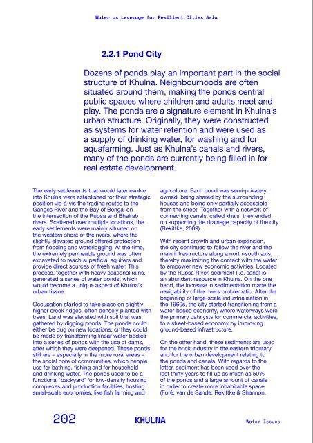
2.2.1 Pond City<br />
Dozens of ponds play an important part in <strong>the</strong> social<br />
structure of Khulna. Neighbourhoods are often<br />
situated around <strong>the</strong>m, making <strong>the</strong> ponds central<br />
public spaces where children and adults meet and<br />
play. The ponds are a signature element in Khulna’s<br />
urban structure. Originally, <strong>the</strong>y were constructed<br />
<strong>as</strong> systems <strong>for</strong> water retention and were used <strong>as</strong><br />
a supply of drinking water, <strong>for</strong> w<strong>as</strong>hing and <strong>for</strong><br />
aquafarming. Just <strong>as</strong> Khulna’s canals and rivers,<br />
many of <strong>the</strong> ponds are currently being filled in <strong>for</strong><br />
real estate development.<br />
2008). The city is characterized by a very<br />
low-density urban structure. This is due to a<br />
series of socioeconomic factors, including<br />
land ownership issues, which are inhibiting<br />
possibilities <strong>for</strong> densification. To overcome<br />
<strong>the</strong>se limits, <strong>the</strong> ponds are occ<strong>as</strong>ionally<br />
filled in order to generate additional plots<br />
<strong>for</strong> construction. As a direct consequence,<br />
<strong>the</strong> already small water absorption capacity<br />
of <strong>the</strong> city’s soil h<strong>as</strong> been fur<strong>the</strong>r reduced.<br />
Additionally, <strong>the</strong> ponds and <strong>the</strong>ir capacity<br />
to host small-scale socioeconomic and<br />
environmental ecosystems h<strong>as</strong> also been<br />
compromised by <strong>the</strong> pollution caused by solid<br />
w<strong>as</strong>te and ineffective sewage infr<strong>as</strong>tructure<br />
(Rekittke, 2009). Given that houses were<br />
traditionally built around <strong>the</strong>se ponds, <strong>the</strong>y<br />
<strong>for</strong>m central are<strong>as</strong> in neighborhoods where<br />
children and adults alike meet and play. On top<br />
of that, <strong>the</strong> fertile are<strong>as</strong> around <strong>the</strong>m are often<br />
used <strong>for</strong> agriculture. As such, maintenance and<br />
improvement of <strong>the</strong> ponds could provide new<br />
opportunities <strong>for</strong> an extension of public space<br />
or urban food production within <strong>the</strong> city while<br />
tackling water challenges simultaneously (Foré,<br />
van de Sande, Rekittke & Shannon, 2008).<br />
The early settlements that would later evolve<br />
into Khulna were established <strong>for</strong> <strong>the</strong>ir strategic<br />
position vis-à-vis <strong>the</strong> trading routes to <strong>the</strong><br />
Ganges River and <strong>the</strong> Bay of Bengal on<br />
<strong>the</strong> intersection of <strong>the</strong> Rupsa and Bhairab<br />
rivers. Scattered over multiple locations, <strong>the</strong><br />
early settlements were mainly situated on<br />
<strong>the</strong> western shore of <strong>the</strong> rivers, where <strong>the</strong><br />
slightly elevated ground offered protection<br />
from flooding and waterlogging. At <strong>the</strong> time,<br />
<strong>the</strong> extremely permeable ground w<strong>as</strong> often<br />
excavated to reach superficial aquifers and<br />
provide direct sources of fresh water. This<br />
process, toge<strong>the</strong>r with heavy se<strong>as</strong>onal rains,<br />
generated a series of water ponds, which<br />
would become a unique <strong>as</strong>pect of Khulna’s<br />
urban tissue.<br />
Occupation started to take place on slightly<br />
higher creek ridges, often densely planted with<br />
trees. Land w<strong>as</strong> elevated with soil that w<strong>as</strong><br />
ga<strong>the</strong>red by digging ponds. The ponds could<br />
ei<strong>the</strong>r be dug on new locations, or <strong>the</strong>y could<br />
be made by trans<strong>for</strong>ming linear water bodies<br />
into a series of ponds with <strong>the</strong> use of dams,<br />
after which <strong>the</strong>y were deepened. These ponds<br />
still are – especially in <strong>the</strong> more rural are<strong>as</strong> –<br />
<strong>the</strong> social core of communities, which people<br />
use <strong>for</strong> bathing, fishing and <strong>for</strong> household<br />
and drinking water. The ponds used to be a<br />
functional ‘backyard’ <strong>for</strong> low-density housing<br />
complexes and production facilities, hosting<br />
small-scale economies, like fish farming and<br />
agriculture. Each pond w<strong>as</strong> semi-privately<br />
owned, being shared by <strong>the</strong> surrounding<br />
houses and being only partially accessible<br />
from <strong>the</strong> street. Toge<strong>the</strong>r with a network of<br />
connecting canals, <strong>call</strong>ed khals, <strong>the</strong>y ended<br />
up supporting <strong>the</strong> drainage capacity of <strong>the</strong> city<br />
(Rekittke, 2009).<br />
With recent growth and urban expansion,<br />
<strong>the</strong> city continued to follow <strong>the</strong> river and <strong>the</strong><br />
main infr<strong>as</strong>tructure along a north-south axis,<br />
<strong>the</strong>reby maximizing <strong>the</strong> contact with <strong>the</strong> water<br />
to empower new economic activities. Located<br />
by <strong>the</strong> Rupsa River, sediment (i.e. sand) is<br />
an abundant resource in Khulna. On <strong>the</strong> one<br />
hand, <strong>the</strong> incre<strong>as</strong>e in sedimentation made <strong>the</strong><br />
navigability of <strong>the</strong> rivers problematic. After <strong>the</strong><br />
beginning of large-scale industrialization in<br />
<strong>the</strong> 1960s, <strong>the</strong> city started transitioning from a<br />
water-b<strong>as</strong>ed economy, where waterways were<br />
<strong>the</strong> primary catalysts <strong>for</strong> commercial activities,<br />
to a street-b<strong>as</strong>ed economy by improving<br />
ground-b<strong>as</strong>ed infr<strong>as</strong>tructure.<br />
On <strong>the</strong> o<strong>the</strong>r hand, <strong>the</strong>se sediments are used<br />
<strong>for</strong> <strong>the</strong> brick industry in <strong>the</strong> e<strong>as</strong>tern tributary<br />
and <strong>for</strong> <strong>the</strong> urban development relating to<br />
<strong>the</strong> ponds and canals. With regards to <strong>the</strong><br />
latter, sediment h<strong>as</strong> been used over <strong>the</strong><br />
l<strong>as</strong>t thirty years to fill up <strong>as</strong> much <strong>as</strong> 50%<br />
of <strong>the</strong> ponds and a large amount of canals<br />
in order to create more inhabitable space<br />
(Foré, van de Sande, Rekittke & Shannon,<br />
Green pond edges<br />
<strong>Water</strong> filter<br />
Swimming and bathing<br />
Pond Entrance<br />
Traditional use of <strong>the</strong><br />
pond: fishing, bathing<br />
and <strong>for</strong> drinking water.<br />
Fishing<br />
Rain <strong>Water</strong> Infiltration<br />
Salt intrusion<br />
Land Elevated with<br />
excavated soil<br />
New developments around water tank<br />
OverheadTank<br />
Piping<br />
New urban developments<br />
around <strong>the</strong> construction<br />
of a drinking<br />
water system.<br />
202 KHULNA<br />
<strong>Water</strong> Issues<br />
PART 2/Background In<strong>for</strong>mation on <strong>the</strong> Partner Cities<br />
203