- Page 1 and 2:
EARLY BELGIAN COLONIAL EFFORTS: THE
- Page 3 and 4:
ACKNOWLEDGEMENTS Acknowledgements m
- Page 5 and 6:
Archive at Windsor proved to be suc
- Page 7 and 8:
even during tax season. Some things
- Page 9 and 10:
truths that merit, no demand, their
- Page 11 and 12:
TABLE OF CONTENTS ACKNOWLEDGEMENTS.
- Page 13 and 14:
LIST OF ABBREVIATIONS AMAE Archives
- Page 15 and 16:
we are to understand the non-Wester
- Page 17 and 18:
insight into the nature of Belgian
- Page 19 and 20:
ackground, demand, or other compell
- Page 21 and 22:
Santa Catarina in Brazil is a signi
- Page 23 and 24:
oth the original script document an
- Page 25 and 26:
man many consider the most influent
- Page 27 and 28:
Palmerston are nonexistent. Lastly,
- Page 29 and 30:
Nunez Affair; Competition, Diplomac
- Page 31 and 32:
CHAPTER 2 BELGIUM AND NINETEENTH CE
- Page 33 and 34:
more difficult issues of a study of
- Page 35 and 36:
Johnson. This was the same whether
- Page 37 and 38:
imperialism were generally thought
- Page 39 and 40:
of iron into steel; and massive cor
- Page 41 and 42:
in the overcrowded cities and facto
- Page 43 and 44:
cultural superiority, along with th
- Page 45 and 46:
Sahara Desert was simply the “Dar
- Page 47 and 48:
asis of wealth, now gave way to the
- Page 49 and 50:
What did Belgium look like in the p
- Page 51 and 52:
ecstatic; his kingdom would double
- Page 53 and 54:
that settled and secured Belgian in
- Page 55 and 56:
of the monarchy under the protestan
- Page 57 and 58:
Given the limitations and inherent
- Page 59 and 60:
As the members of the chambers bega
- Page 61 and 62:
markets and there was a series of d
- Page 63 and 64:
government. Leopold’s position as
- Page 65 and 66:
Leopold made a great effort to incr
- Page 67 and 68:
connection to soften his opposition
- Page 69 and 70:
that the potential for harm from Le
- Page 71 and 72:
modern states of Thuringia and Bava
- Page 73 and 74:
During this first period, from his
- Page 75 and 76:
first, but the time will come when
- Page 77 and 78:
After the diplomatic battles in 184
- Page 79 and 80:
continuing through the end of the 1
- Page 81 and 82:
Henry John Temple, the third Viscou
- Page 83 and 84:
ellicose, and sometimes treasonous.
- Page 85 and 86:
pledged his loyalty for life to the
- Page 87 and 88:
control or domination of one nation
- Page 89 and 90:
minister (probably)? Did it reach t
- Page 91 and 92:
information, however, to allow a di
- Page 93 and 94:
with Belgium, Hamilton was successf
- Page 95 and 96:
time, Pirson traveled to Galveston,
- Page 97 and 98:
Specifically in his letter of Febru
- Page 99 and 100:
something of a disadvantage in view
- Page 101 and 102:
announcement of the boat for New Or
- Page 103 and 104:
location, as those the Republic had
- Page 105 and 106:
advertisement rates, and the availa
- Page 107 and 108:
in cotton, but also including major
- Page 109 and 110:
political instability evidenced by
- Page 111 and 112:
Secondly, it is surprising that Pir
- Page 113 and 114:
seeking a commercial treaty and loa
- Page 115 and 116:
Leopold was either reacting to the
- Page 117 and 118:
further than it did. 210 The much l
- Page 119 and 120:
Similarly, there was no religious f
- Page 121 and 122:
CHAPTER 4 SANTO TOMAS 214 The colon
- Page 123 and 124:
In the late 1830s, as a result of i
- Page 125 and 126:
an English company, and others may
- Page 127 and 128:
4.1 Illustration of Guatemala City
- Page 129 and 130:
4.2 Illustration of Santo Tomas gov
- Page 131 and 132:
The second report, by Dr. Dechange,
- Page 133 and 134:
health and climate issues, but rath
- Page 135 and 136:
Finally shaken out of its complacen
- Page 137 and 138:
It may seem strange to ask why Sant
- Page 139 and 140:
a new treaty with Guatemala. Blonde
- Page 141 and 142:
1854, verified the absolute foolish
- Page 143 and 144:
expand them. There was a strong cal
- Page 145 and 146:
position. 274 Simultaneously with t
- Page 147 and 148:
withdraw as an active political lea
- Page 149 and 150:
Early maps had been somewhat genera
- Page 151 and 152: CHAPTER 5 SANTA CATARINA The Belgia
- Page 153 and 154: Van Lede’s initial contact with t
- Page 155 and 156: equirement for minimum capitalizati
- Page 157 and 158: were not in the Company’s name bu
- Page 159 and 160: Under Fontaine the colony deteriora
- Page 161 and 162: have much broader support in the ch
- Page 163 and 164: outcasts and convicts. 315 What is
- Page 165 and 166: A more interesting aspect of any at
- Page 167 and 168: 5.1 Map of Santa Catarina Province
- Page 169 and 170: CHAPTER 6 RIO NUNEZ Any discussion
- Page 171 and 172: A general consensus among historian
- Page 173 and 174: Van Haverbeke’s voyage which bega
- Page 175 and 176: These main two ethnic groups, the L
- Page 177 and 178: Cohen was also in the forefront of
- Page 179 and 180: several changes to its contents, va
- Page 181 and 182: the treaty, thus ending the Belgian
- Page 183 and 184: Belgian navy. A total of three diff
- Page 185 and 186: Durant observed that it was the dri
- Page 187 and 188: The third trip to the Nunez took pl
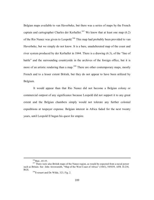
- Page 189 and 190: There is no way to know if Leopold
- Page 191 and 192: minister Otto von Bismarck. It also
- Page 193 and 194: Rogier to relocate funds and make t
- Page 195 and 196: As was the case with Santo Tomas, t
- Page 197 and 198: the cessation of the yearly appeara
- Page 199 and 200: vessels is highly commendable. The
- Page 201: observations, the primitive medicin
- Page 205 and 206: The examination of the four colonia
- Page 207 and 208: Britain he had always envisioned be
- Page 209 and 210: attempt in Rio Nunez are good examp
- Page 211 and 212: to deal with a constant stream of p
- Page 213 and 214: The Belgian people responded to the
- Page 215 and 216: almost impossible for a white man t
- Page 217 and 218: We are told that the personal relat
- Page 219 and 220: Texas would not have met criteria n
- Page 221 and 222: historiography is lagging behind. T
- Page 223 and 224: Center for American History, Univer
- Page 225 and 226: Lede, Charles Maximilien Louis van.
- Page 227 and 228: Bayly, C. A. The Birth of the Moder
- Page 229 and 230: ________. The World and the West: T
- Page 231 and 232: Feys, Torsten. "The Emigration Poli
- Page 233 and 234: Janssens, G., and Jean Stengers. No
- Page 235 and 236: Maselis, Patrick. From the Azores t
- Page 237 and 238: Richardson, Joanna. My Dearest Uncl
- Page 239 and 240: Watelet, Marcel. Cartographie et po


