

Land Use Plan – 2002 - Stanly County, North Carolina
Land Use Plan – 2002 - Stanly County, North Carolina
Land Use Plan – 2002 - Stanly County, North Carolina

You also want an ePaper? Increase the reach of your titles
YUMPU automatically turns print PDFs into web optimized ePapers that Google loves.
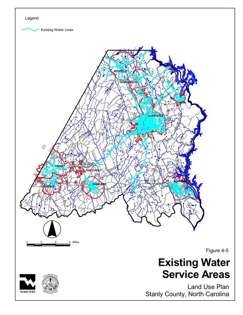
Legend<br />
Existing Water Lines<br />
STANFIELD<br />
LOCUST<br />
NC 200<br />
Running Creek<br />
Church Rd.<br />
2 0 2 4 Miles<br />
Millingport Rd.<br />
Swift Rd.<br />
Ridgecrest Rd.<br />
RED CROSS<br />
NC 205<br />
OAKBORO<br />
US 52<br />
NC 73<br />
Millingport Rd.<br />
NC 24/27<br />
RICHFIELD<br />
St. Martin Rd.<br />
NC 138<br />
NEW LONDON<br />
Austin Rd.<br />
Old Salisbury Rd.<br />
NC 49<br />
NC 8<br />
NC 138<br />
<strong>Plan</strong>k Rd.<br />
ALBEMARLE<br />
South <strong>Stanly</strong><br />
School Rd.<br />
US 52<br />
NC 740<br />
Airport Rd.<br />
NC 740<br />
Stony Gap Rd.<br />
Valley Dr.<br />
Indian Mound Rd.<br />
BADIN<br />
NC 73<br />
NORWOOD<br />
NC 731<br />
Figure 4-5<br />
Existing Water<br />
Service Areas<br />
<strong>Land</strong> <strong>Use</strong> <strong>Plan</strong><br />
<strong>Stanly</strong> <strong>County</strong>, <strong>North</strong> <strong>Carolina</strong>


