

Land Use Plan – 2002 - Stanly County, North Carolina
Land Use Plan – 2002 - Stanly County, North Carolina
Land Use Plan – 2002 - Stanly County, North Carolina

Create successful ePaper yourself
Turn your PDF publications into a flip-book with our unique Google optimized e-Paper software.
Asheville<br />
Charlotte<br />
<strong>Stanly</strong><br />
<strong>County</strong><br />
<strong>North</strong> <strong>Carolina</strong><br />
Winston-Salem Greensboro<br />
Cabarrus <strong>County</strong><br />
Stanfield<br />
Fayetteville<br />
Locust<br />
NC 200<br />
Union<br />
<strong>County</strong><br />
RALEIGH<br />
NC 1134<br />
Red<br />
Cross<br />
NC 205<br />
Wilmington<br />
Oakboro<br />
NC 742<br />
NC 73<br />
NC 24/27<br />
NC 138<br />
Rowan <strong>County</strong> Davidson <strong>County</strong><br />
Richfield<br />
NC 52<br />
New<br />
London<br />
NC 49<br />
NC 52<br />
ALBEMARLE<br />
NC 138<br />
NC 1922<br />
NC 740<br />
Anson<br />
<strong>County</strong><br />
Tuckertown Reservoir<br />
Yadkin River<br />
NC 52<br />
NC 1549<br />
Badin<br />
NC 740<br />
Norwood<br />
NC 1740<br />
NC 24/27/73<br />
Narrows Reservoir<br />
Morrow Mnt.<br />
State Park<br />
NC 731<br />
Pee Dee River<br />
Reservoir<br />
Tillery<br />
Richmond<br />
<strong>County</strong><br />
Montgomery<br />
<strong>County</strong><br />
Falls Reservoir<br />
Montgomery<br />
<strong>County</strong><br />
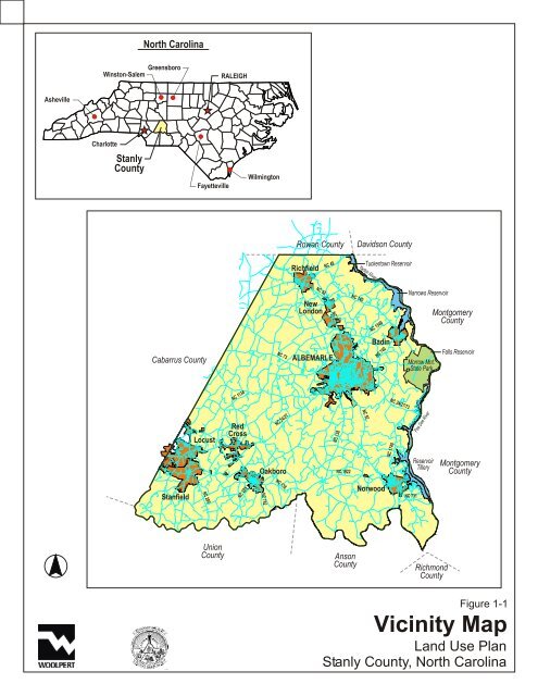
Figure 1-1<br />
Vicinity Map<br />
<strong>Land</strong> <strong>Use</strong> <strong>Plan</strong><br />
<strong>Stanly</strong> <strong>County</strong>, <strong>North</strong> <strong>Carolina</strong>


