

Scientific Theme: Advanced Modeling and Observing Systems
Scientific Theme: Advanced Modeling and Observing Systems
Scientific Theme: Advanced Modeling and Observing Systems

You also want an ePaper? Increase the reach of your titles
YUMPU automatically turns print PDFs into web optimized ePapers that Google loves.
CIRES in 2006-2007: Contributions to NOAA’s Strategic Vision<br />
Contributions to NOAA’s Strategic Vision<br />
Cross-cutting, interdisciplinary research priorities within CIRES complement NOAA‘s current Five-Year Research<br />
Plan priorities, which aim to enhance the underst<strong>and</strong>ing <strong>and</strong> prediction the of Earth‘s environment. The Five-Year<br />
Research Plan reflects NOAA‘s response to some of the nation‘s most challenging environmental needs, as<br />
identified in the 20-Year Research Vision, <strong>and</strong> supports the four mission goal areas identified in the NOAA<br />
Strategic Plan – Ecosystems, Climate, Weather <strong>and</strong> Water, <strong>and</strong> Commerce <strong>and</strong> Transportation. The following are<br />
examples of CIRES research that supports NOAA‘s mission goals.<br />
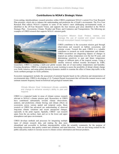
Ecosystem Mission Goal: Protect, restore, <strong>and</strong><br />
manage the use of coastal <strong>and</strong> ocean resources<br />
through ecosystem based management.<br />
CIRES contributes to the ecosystem mission goal through<br />
observations <strong>and</strong> research on habitat, ecosystems, <strong>and</strong><br />
extreme events. Toward this goal, CIRES is a valuable<br />
contributor to research on ocean temperature <strong>and</strong> climate.<br />
CIRES researchers are diagnosing impacts of changes in<br />
tropical sea surface temperature over the last 50 years, <strong>and</strong><br />
determining sensitivity to past <strong>and</strong> future temperature<br />
changes in different parts of the tropical oceans. Using a<br />
satellite retrieval method recently developed by ESRL<br />
researchers, CIRES is creating a multi-year global oceanic data set of near-surface temperatures <strong>and</strong> humidity.<br />
Crossing disciplines, CIRES is evaluating data on ocean warming to assess the possibility of abrupt climate change<br />
over North America, <strong>and</strong> using global chemistry/dynamics models to examine the effect of future ship traffic in the<br />
Arctic northern passages on Arctic pollution.<br />
Ecosystem management includes the assessment of potential hazards based on the collection <strong>and</strong> interpretation of<br />
environmental data. CIRES is developing a U.S. Tsunami Hazard Assessment that will describe tsunami sources <strong>and</strong><br />
estimate tsunami frequency based on historical <strong>and</strong> geological tsunami data.<br />
Climate Mission Goal: Underst<strong>and</strong> climate variability<br />
<strong>and</strong> change to enhance society’s ability to plan <strong>and</strong><br />
respond.<br />
CIRES is a respected leader in areas of climate science research<br />
relevant to NOAA‘s climate mission goal. Researchers at CIRES<br />
have contributed substantially towards climate observations,<br />
analysis, <strong>and</strong> predictions; climate forcing; <strong>and</strong> climate effects on<br />
ecosystems across various spatial <strong>and</strong> temporal scales. Basic<br />
research at CIRES has advanced our underst<strong>and</strong>ing of observed<br />
long-term climate variations <strong>and</strong> recent unexpected changes,<br />
especially in the polar regions. Spatially, CIRES‘ vast research<br />
spans from the sea surface, l<strong>and</strong>, <strong>and</strong> ice to the lower <strong>and</strong> upper<br />
atmospheres <strong>and</strong> space environment.<br />
CIRES develops methods <strong>and</strong> processes for integrating multiple<br />
types of climate research data, <strong>and</strong> making the data more<br />
streamlined <strong>and</strong> accessible to facilitate interoperability within the scientific community for the purpose of<br />
knowledge extraction, data quality control <strong>and</strong> validation, <strong>and</strong> trend detection. Tools are also being created for the<br />
public <strong>and</strong> policy makers to increase access to climate science information <strong>and</strong> forecast products.<br />
11


