Scientific Theme: Advanced Modeling and Observing Systems
Scientific Theme: Advanced Modeling and Observing Systems
Scientific Theme: Advanced Modeling and Observing Systems
You also want an ePaper? Increase the reach of your titles
YUMPU automatically turns print PDFs into web optimized ePapers that Google loves.
<strong>Scientific</strong> <strong>Theme</strong>: Regional Processes<br />
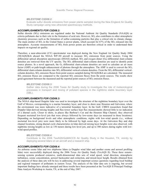
MILESTONE CSD08.2:<br />
Evaluate sulfur dioxide emissions from power plants sampled during the New Engl<strong>and</strong> Air Quality<br />
Study campaign using new ultraviolet spectroscopy methods.<br />
ACCOMPLISHMENTS FOR CSD08.2:<br />
Sulfur dioxide (SO2) emissions are regulated under the National Ambient Air Quality St<strong>and</strong>ards (NAAQS) as<br />
criteria pollutants due to their role in the formation of acid rain. However, SO2 also contributes to other atmospheric<br />
chemistry processes such as the formation of sulfur-containing particles that play a critical role in climate change.<br />
The main emitter of SO2 in the United States is power plants, which account for 67% of the SO2 released into the<br />
atmosphere. Accurate measurements of SO2 from power points are therefore critical in order to underst<strong>and</strong> their<br />
impacts on regional air quality.<br />
Therefore, a near-ultraviolet (UV) spectrometer was deployed during the New Engl<strong>and</strong> Air Quality Study 2004<br />
(NEAQS2K4) aboard the NOAA WP-3D aircraft to measure SO2 emissions from point sources. Using the<br />
differential optical absorption spectroscopy (DOAS) method, SO2 <strong>and</strong> oxygen dimer (O4) differential slant-column<br />
densities are retrieved from the UV spectra. The SO2 differential slant-column densities are used to identify point<br />
source plumes. In a novel approach, the O4 differential slant-column densities are used to calculate an air mass<br />
factor (AMF) or path-length enhancement of photons through the atmosphere. The AMF is used to convert the SO2<br />
differential slant-column densities into SO2 differential vertical-column densities. From the SO2 differential verticalcolumn<br />
densities, SO2 emission fluxes from point sources sampled during NEAQS2K4 are calculated. The measured<br />
SO2 emission fluxes are compared to the reported SO2 emission fluxes from the point sources. The results show<br />
good agreement between the measured <strong>and</strong> the reported point sources of SO2 emission fluxes.<br />
MILESTONE CSD08.3:<br />
Gather data during the 2006 Texas Air Quality study to investigate the role of meteorological<br />
processes in transport <strong>and</strong> mixing of pollutant species in the nighttime stable boundary layer<br />
(SBL).<br />
ACCOMPLISHMENTS FOR CSD08.3:<br />
The NOAA ship-based Doppler lidar was used to investigate the structure of the nighttime boundary layer over the<br />
Gulf of Mexico, corresponding to a marine boundary layer, <strong>and</strong> close to shore near Houston <strong>and</strong> Galveston, where<br />
the environment was more indicative of a terrestrial boundary layer. In the Gulf, CIRES researchers found that<br />
Doppler lidar-derived mixing heights <strong>and</strong> flux-tower surface heat flux measurements showed little to no indication<br />
of a diurnal cycle. Closer to shore, in places like Barbour‘s Cut <strong>and</strong> the Houston Ship Channel, they observed<br />
frequent nocturnal low-level jets that were always followed by low-ozone days (as measured in those locations).<br />
Depending on background levels <strong>and</strong> other atmospheric conditions, nights with low-wind speeds (i.e., without<br />
nocturnal low-level jets) were more likely to be followed by high ozone days. At the Galveston Bay <strong>and</strong> ship<br />
channel locations, strong diurnal cycle characteristics in lidar-derived mixing layer heights were also observed, with<br />
nighttime mixing heights as low as 150 meters during low-level jets, <strong>and</strong> up to 500 meters during nights with lowwind<br />
speed profiles.<br />
MILESTONE CSD08.4:<br />
Contribute to the 2006 TexAQS/GoMACCS Air Quality Study in the Houston, TX, vicinity by<br />
deploying several lidars on an aircraft <strong>and</strong> a research ship.<br />
ACCOMPLISHMENTS FOR CSD08.4:<br />
An airborne ozone lidar <strong>and</strong> two shipborne lidars (a Doppler wind lidar <strong>and</strong> another ozone <strong>and</strong> aerosol profiling<br />
lidar) were successfully deployed during the 2006 Texas Air Quality Study (TexAQS II). These three remotesensing<br />
systems produced extensive, multi-dimensional data sets of wind speed, wind direction, atmospheric<br />
turbulence, ozone concentration, aerosol backscatter <strong>and</strong> extinction, <strong>and</strong> mixed-layer height. Results obtained from<br />
the analysis of these data sets will be key in addressing several important science questions regarding local buildup<br />
<strong>and</strong> regional transport of pollutants in eastern Texas. The analysis of the lidar data sets is ongoing, but several<br />
important findings have already emerged <strong>and</strong> these results have been presented at the TexAQS II Principal Findings<br />
Data Analysis Workshop in Austin, TX, at the end of May 2007.<br />
92


