Supporting documents - Renfrewshire Council
Supporting documents - Renfrewshire Council
Supporting documents - Renfrewshire Council
You also want an ePaper? Increase the reach of your titles
YUMPU automatically turns print PDFs into web optimized ePapers that Google loves.
Dawn Developments Ltd/467374673/Queen’s Quay Masterplan EIA/KD<br />
04/01/2012<br />
Major Mixed Use Development, Queen's Quay, Clydebank<br />
EIA Scoping Report<br />
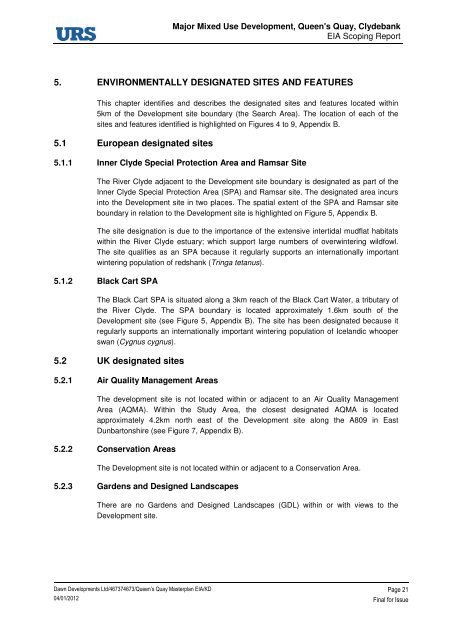
5. ENVIRONMENTALLY DESIGNATED SITES AND FEATURES<br />
This chapter identifies and describes the designated sites and features located within<br />
5km of the Development site boundary (the Search Area). The location of each of the<br />
sites and features identified is highlighted on Figures 4 to 9, Appendix B.<br />
5.1 European designated sites<br />
5.1.1 Inner Clyde Special Protection Area and Ramsar Site<br />
The River Clyde adjacent to the Development site boundary is designated as part of the<br />
Inner Clyde Special Protection Area (SPA) and Ramsar site. The designated area incurs<br />
into the Development site in two places. The spatial extent of the SPA and Ramsar site<br />
boundary in relation to the Development site is highlighted on Figure 5, Appendix B.<br />
The site designation is due to the importance of the extensive intertidal mudflat habitats<br />
within the River Clyde estuary; which support large numbers of overwintering wildfowl.<br />
The site qualifies as an SPA because it regularly supports an internationally important<br />
wintering population of redshank (Tringa tetanus).<br />
5.1.2 Black Cart SPA<br />
The Black Cart SPA is situated along a 3km reach of the Black Cart Water, a tributary of<br />
the River Clyde. The SPA boundary is located approximately 1.6km south of the<br />
Development site (see Figure 5, Appendix B). The site has been designated because it<br />
regularly supports an internationally important wintering population of Icelandic whooper<br />
swan (Cygnus cygnus).<br />
5.2 UK designated sites<br />
5.2.1 Air Quality Management Areas<br />
The development site is not located within or adjacent to an Air Quality Management<br />
Area (AQMA). Within the Study Area, the closest designated AQMA is located<br />
approximately 4.2km north east of the Development site along the A809 in East<br />
Dunbartonshire (see Figure 7, Appendix B).<br />
5.2.2 Conservation Areas<br />
The Development site is not located within or adjacent to a Conservation Area.<br />
5.2.3 Gardens and Designed Landscapes<br />
There are no Gardens and Designed Landscapes (GDL) within or with views to the<br />
Development site.<br />
Page 21<br />
Final for Issue


