Transportation Plan - Town of Garner
Transportation Plan - Town of Garner
Transportation Plan - Town of Garner

Create successful ePaper yourself
Turn your PDF publications into a flip-book with our unique Google optimized e-Paper software.
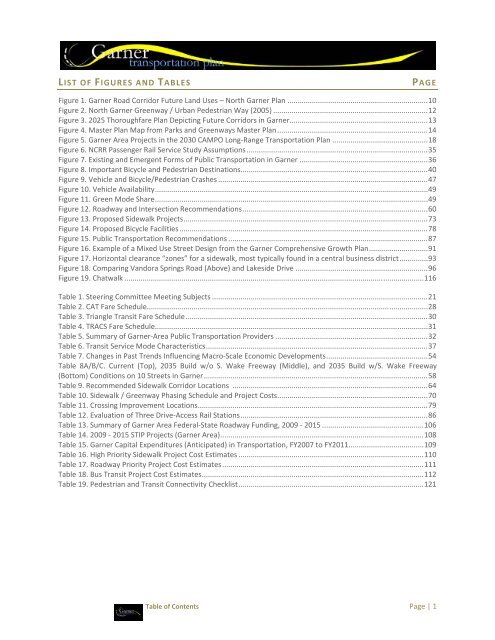
LIST OF FIGURES AND TABLES<br />
PAGE<br />
Figure 1. <strong>Garner</strong> Road Corridor Future Land Uses – North <strong>Garner</strong> <strong>Plan</strong> ..................................................................... 10<br />
Figure 2. North <strong>Garner</strong> Greenway / Urban Pedestrian Way (2005) ............................................................................ 12<br />
Figure 3. 2025 Thoroughfare <strong>Plan</strong> Depicting Future Corridors in <strong>Garner</strong> .................................................................... 13<br />
Figure 4. Master <strong>Plan</strong> Map from Parks and Greenways Master <strong>Plan</strong> .......................................................................... 14<br />
Figure 5. <strong>Garner</strong> Area Projects in the 2030 CAMPO Long‐Range <strong>Transportation</strong> <strong>Plan</strong> ............................................... 18<br />
Figure 6. NCRR Passenger Rail Service Study Assumptions ......................................................................................... 35<br />
Figure 7. Existing and Emergent Forms <strong>of</strong> Public <strong>Transportation</strong> in <strong>Garner</strong> ............................................................... 36<br />
Figure 8. Important Bicycle and Pedestrian Destinations ............................................................................................ 40<br />
Figure 9. Vehicle and Bicycle/Pedestrian Crashes ....................................................................................................... 47<br />
Figure 10. Vehicle Availability ...................................................................................................................................... 49<br />
Figure 11. Green Mode Share ...................................................................................................................................... 49<br />
Figure 12. Roadway and Intersection Recommendations ........................................................................................... 60<br />
Figure 13. Proposed Sidewalk Projects ........................................................................................................................ 73<br />
Figure 14. Proposed Bicycle Facilities .......................................................................................................................... 78<br />
Figure 15. Public <strong>Transportation</strong> Recommendations .................................................................................................. 87<br />
Figure 16. Example <strong>of</strong> a Mixed Use Street Design from the <strong>Garner</strong> Comprehensive Growth <strong>Plan</strong> ............................. 91<br />
Figure 17. Horizontal clearance “zones” for a sidewalk, most typically found in a central business district .............. 93<br />
Figure 18. Comparing Vandora Springs Road (Above) and Lakeside Drive ................................................................. 96<br />
Figure 19. Chatwalk ................................................................................................................................................... 116<br />
Table 1. Steering Committee Meeting Subjects .......................................................................................................... 21<br />
Table 2. CAT Fare Schedule.......................................................................................................................................... 28<br />
Table 3. Triangle Transit Fare Schedule ....................................................................................................................... 30<br />
Table 4. TRACS Fare Schedule...................................................................................................................................... 31<br />
Table 5. Summary <strong>of</strong> <strong>Garner</strong>‐Area Public <strong>Transportation</strong> Providers ........................................................................... 32<br />
Table 6. Transit Service Mode Characteristics ............................................................................................................. 37<br />
Table 7. Changes in Past Trends Influencing Macro‐Scale Economic Developments .................................................. 54<br />
Table 8A/B/C. Current (Top), 2035 Build w/o S. Wake Freeway (Middle), and 2035 Build w/S. Wake Freeway<br />
(Bottom) Conditions on 10 Streets in <strong>Garner</strong> .............................................................................................................. 58<br />
Table 9. Recommended Sidewalk Corridor Locations ................................................................................................ 64<br />
Table 10. Sidewalk / Greenway Phasing Schedule and Project Costs .......................................................................... 70<br />
Table 11. Crossing Improvement Locations ................................................................................................................. 79<br />
Table 12. Evaluation <strong>of</strong> Three Drive‐Access Rail Stations ............................................................................................ 86<br />
Table 13. Summary <strong>of</strong> <strong>Garner</strong> Area Federal‐State Roadway Funding, 2009 ‐ 2015 .................................................. 106<br />
Table 14. 2009 ‐ 2015 STIP Projects (<strong>Garner</strong> Area) .................................................................................................... 108<br />
Table 15. <strong>Garner</strong> Capital Expenditures (Anticipated) in <strong>Transportation</strong>, FY2007 to FY2011 ..................................... 109<br />
Table 16. High Priority Sidewalk Project Cost Estimates ........................................................................................... 110<br />
Table 17. Roadway Priority Project Cost Estimates ................................................................................................... 111<br />
Table 18. Bus Transit Project Cost Estimates ............................................................................................................. 112<br />
Table 19. Pedestrian and Transit Connectivity Checklist ........................................................................................... 121<br />
Table <strong>of</strong> Contents Page | 1