

200 - Typhoon Committee
200 - Typhoon Committee
200 - Typhoon Committee

Create successful ePaper yourself
Turn your PDF publications into a flip-book with our unique Google optimized e-Paper software.
TCAR<br />
CHAPTER 1 - TYPHOON COMMITTEE ACTIVITIES <strong>200</strong>7<br />
<strong>200</strong>7<br />
was analyzed and 50-yr trend analyses were performed<br />
on the frequency and intensity of typhoons making<br />
landfall in China, as well as the precipitation and high<br />
winds brought by typhoons to China.<br />
f. Other Cooperative/Strategic Plan<br />
Progress<br />
Nil<br />
2. Progress in Member’s Important, High-<br />
Priority Goals and Objectives<br />
(towards the goals and objectives of the<br />
<strong>Typhoon</strong> <strong>Committee</strong>)<br />
a. Hardware and/or Software Progress<br />
<br />
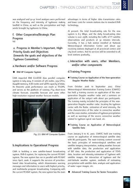
IBM HP Computer System<br />
CMA imported IBM CLUSTER 1600 parallel computer<br />
system in July <strong>200</strong>4. It consists of 376 nodes, 3152 CPUs,<br />
8224GB memory, 8 I/O nodes and 128TB capacity of disks.<br />
Its theoretic peak performance can reach 21 TFLOPS,<br />
and serves as the platform of running 7*24 short-term<br />
climate forecast, ensemble forecast and some other<br />
high-resolution regional weather forecast models.<br />
advantages in terms of higher data transmission rates<br />
and lower costs for remote stations due to standard DVB<br />
technology.<br />
At present, the total broadcasting rate for the new<br />
system is 8.5 Mbps, and the daily broadcasting data<br />
volume is over 25GB, including the traffic of FY satellite<br />
observations and products at 30 minutes intervals.<br />
Currently, it has a hub station installed at National<br />
Meteorological Information Center and about 350<br />
receiving stations deployed at all provincial centers and<br />
city level centers. And its services will be extended to all<br />
level stations gradually.<br />
c. Interaction with users, other Members,<br />
and/or other components<br />
d. Training Progress<br />
• Training Course on Application of the New-generation<br />
Doppler Weather Radar<br />
From October <strong>200</strong>6 to September <strong>200</strong>7, China<br />
Meteorological Administration Training Centre (CMATC)<br />
has held 4 training courses on application of the newgeneration<br />
Doppler weather radar and 2 seminars on<br />
application of the subject with about 300 participants.<br />
The training mainly included the principles of the newgeneration<br />
Doppler weather radar, locating the typhoon<br />
center with the Radar, estimation of wind intensity, the<br />
echo characteristics of the radar in convective weather<br />
and the cases studies, estimation of typhoon precipitation<br />
as well as warnings of the severe convective weather<br />
related to typhoon spiral rain band, etc.<br />
• Training Course on Application of Meteorological<br />
Satellite Data<br />
Fig. 2.5 IBM HP Computer System<br />
b. Implications to Operational Progress<br />
CMA is building a new satellite-based broadcasting<br />
system, DVB-S system, for replacing the current PCVSAT<br />
system. The new system has run in parallel with PCVSAT<br />
since April, <strong>200</strong>6. It supports the services of prioritiesbased<br />
data broadcasting, which disseminates warning<br />
messages and information to users with highest priority,<br />
and multimedia program broadcasting. Comparing with<br />
the current PCVSAT system, the new system has the main<br />
From January 6 to 16, <strong>200</strong>7, CMATC held one training<br />
course on application of meteorological satellite data<br />
with 86 participants. The main training content covered<br />
the basic principles of meteorological satellites and<br />
satellite imagery interpretation, making weather forecast<br />
with satellite data, the production and application<br />
of SST data, the production and application of TOVS<br />
data, location and intensity estimation of <strong>Typhoon</strong> with<br />
satellite images, the interaction of typhoon and the<br />
mid-latitude weather system, methods of estimating<br />
precipitation with satellite data, analysis and application<br />
of water vapor images, etc.<br />
<br />
Advanced Training Course for Senior Forecasters<br />
23


