

200 - Typhoon Committee
200 - Typhoon Committee
200 - Typhoon Committee

You also want an ePaper? Increase the reach of your titles
YUMPU automatically turns print PDFs into web optimized ePapers that Google loves.
ESCAP/WMO<br />
<strong>Typhoon</strong> <strong>Committee</strong> Annual Review <strong>200</strong>7<br />
c. Interaction with Users, Other Members<br />
and/or Other Components<br />
There are no updates this year.<br />
d. Training Progress<br />
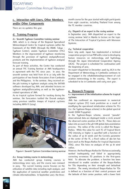
d.1 Seventh <strong>Typhoon</strong> <strong>Committee</strong> training seminar<br />
JMA, which is in charge of the Regional Specialized<br />
Meteorological Centre for tropical cyclones within the<br />
framework of the WMO (through the RSMC Tokyo -<br />
<strong>Typhoon</strong> Center), assists <strong>Typhoon</strong> <strong>Committee</strong> (TYC)<br />
Members in the improvement of typhoon monitoring<br />
through the provision of typhoon analysis/forecast<br />
products and the implementation of typhoon analysis/<br />
forecast training.<br />
As part of these activities, the Center has conducted<br />
an annual TYC Training Seminar at JMA headquarters<br />
in agreement with the TYC since <strong>200</strong>1. In <strong>200</strong>7, the<br />
seventh seminar was held from 18 to 27 July with the<br />
participation of two female forecasters from Cambodia<br />
and the Philippines. In the seminar, they received onthe-job<br />
training in typhoon analysis using the SATAID<br />
software developed by JMA, and attended lectures on<br />
typhoon analysis/forecasting as well as the typhoonrelated<br />
operations of JMA.<br />
As no tropical cyclone formed for tracking during the<br />
seminar, the forecasters tackled the Dvorak analysis<br />
using previous satellite images of tropical cyclones<br />
including MAN-YI (0704).<br />
Figure 4 Seventh <strong>Typhoon</strong> <strong>Committee</strong> training seminar<br />
d.2 Group training course in meteorology<br />
JMA has conducted group training courses in<br />
meteorology since 1973, and the course was renewed<br />
in <strong>200</strong>3. The current training course focuses on the<br />
utilization of satellite data including neph-analysis, and<br />
the application of numerical weather predictions and<br />
climate information/data. In September <strong>200</strong>7, the threemonth<br />
course for the year started with eight participants<br />
from eight countries, including Thailand from among<br />
the TC member countries.<br />
d.3 Dispatch of an expert to the roving seminar<br />
In September <strong>200</strong>7, JMA dispatched an expert to the<br />
roving seminar held in Manila to lecture on the topic<br />
of The Interaction of Tropical Cyclones with Monsoon<br />
Systems.<br />
d.4 Technical cooperation<br />
Since July <strong>200</strong>6, Japan has implemented a technical<br />
cooperation project in Lao PDR with a view to developing<br />
human resources on meteorology and hydrology<br />
through the Japan International Cooperation Agency<br />
(JICA). The project is scheduled for continuation until<br />
the beginning of 2010.<br />
An expert dispatched in December <strong>200</strong>6 by JICA to the<br />
Department of Meteorology in Cambodia continues to<br />
be engaged in the rehabilitation/improvement of civil<br />
aviation meteorology in the country. The expert is<br />
scheduled to be in Cambodia until early next year.<br />
e. Research Progress<br />
e.1 Improvement of the initialization scheme for tropical<br />
cyclones<br />
JMA has confirmed an improvement in numerical<br />
tropical cyclone (TC) track prediction as a result of<br />
modifying the operational initialization scheme for TCs<br />
(i.e. the <strong>Typhoon</strong>-Bogus scheme) in the global spectral<br />
model (GSM-TL959L60).<br />
In the <strong>Typhoon</strong>-Bogus scheme, several “pseudo”<br />
observational data are deployed inside a circle around<br />
the observed center position of the TC. These data are<br />
taken into account in the 4D-VAR global data assimilation<br />
process. The radius of the circle is called the Bogus-<br />
Radius. While this value for each TC of Tropical Storm<br />
(TS) intensity or higher is specified with a function of<br />
the radius of 30 kt winds and the Coriolis parameter<br />
at the center of the TC, a fixed radius of 360 km has<br />
been used as the Bogus-Radius for tropical depressions<br />
(TDs), since TDs have no analysis of the 30 kt wind<br />
radius.<br />
However, the fixed Bogus-Radius for TDs has occasionally<br />
worked inadequately and failed in appropriately<br />
correcting erroneous TD positions in the first-guess<br />
field. To alleviate the problem, a function has been<br />
introduced to enable variation of the Bogus-Radius<br />
for TDs depending on their strength and latitudinal<br />
location. The newly introduced Bogus-Radius for TDs<br />
is defined as a function of their central pressure and<br />
the latitude of their center position, with a lower limit<br />
36


