Guidelines for the use of GNSS in surveying and mapping
Guidelines for the use of GNSS in surveying and mapping
Guidelines for the use of GNSS in surveying and mapping
You also want an ePaper? Increase the reach of your titles
YUMPU automatically turns print PDFs into web optimized ePapers that Google loves.
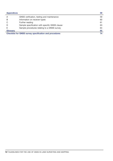
Appendices 59<br />
A <strong>GNSS</strong> verification, test<strong>in</strong>g <strong>and</strong> ma<strong>in</strong>tenance 59<br />
B In<strong>for</strong>mation on receiver types 60<br />
C Fur<strong>the</strong>r read<strong>in</strong>g 61<br />
D Sample specification with specific <strong>GNSS</strong> cla<strong>use</strong> 63<br />
E Sample procedures relat<strong>in</strong>g to a <strong>GNSS</strong> survey 64<br />
Glossary 65<br />
Checklist <strong>for</strong> <strong>GNSS</strong> survey specification <strong>and</strong> procedures 74<br />
iv | GUIDELINES FOR THE USE OF <strong>GNSS</strong> IN LAND SURVEYING AND MAPPING


