

Guidelines for the use of GNSS in surveying and mapping
Guidelines for the use of GNSS in surveying and mapping
Guidelines for the use of GNSS in surveying and mapping

Create successful ePaper yourself
Turn your PDF publications into a flip-book with our unique Google optimized e-Paper software.
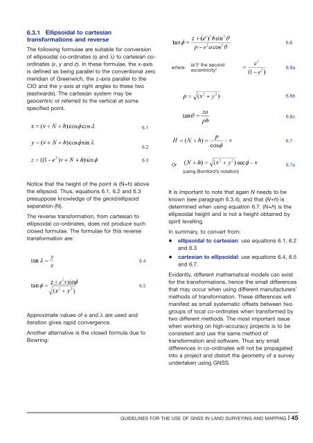
6.3.1 Ellipsoidal to cartesian<br />
trans<strong>for</strong>mations <strong>and</strong> reverse<br />
The follow<strong>in</strong>g <strong>for</strong>mulae are suitable <strong>for</strong> conversion<br />
<strong>of</strong> ellipsoidal co-ord<strong>in</strong>ates (φ <strong>and</strong> λ) to cartesian coord<strong>in</strong>ates<br />
(x, y <strong>and</strong> z). In <strong>the</strong>se <strong>for</strong>mulae, <strong>the</strong> x-axis<br />
is def<strong>in</strong>ed as be<strong>in</strong>g parallel to <strong>the</strong> conventional zero<br />
meridian <strong>of</strong> Greenwich, <strong>the</strong> z-axis parallel to <strong>the</strong><br />
CIO <strong>and</strong> <strong>the</strong> y-axis at right angles to <strong>the</strong>se two<br />
(eastwards). The cartesian system may be<br />
geocentric or referred to <strong>the</strong> vertical at some<br />
specified po<strong>in</strong>t.<br />
6.1<br />
where:<br />
6.6<br />
(e’) 2 <strong>the</strong> second<br />
eccentricity 2 6.6a<br />
6.6b<br />
6.6c<br />
6.2<br />
6.7<br />
6.3<br />
Or<br />
(us<strong>in</strong>g Bom<strong>for</strong>d’s notation)<br />
6.7a<br />
Notice that <strong>the</strong> height <strong>of</strong> <strong>the</strong> po<strong>in</strong>t is (N+h) above<br />
<strong>the</strong> ellipsoid. Thus, equations 6.1, 6.2 <strong>and</strong> 6.3<br />
presuppose knowledge <strong>of</strong> <strong>the</strong> geoid/ellipsoid<br />
separation (N).<br />
The reverse trans<strong>for</strong>mation, from cartesian to<br />
ellipsoidal co-ord<strong>in</strong>ates, does not produce such<br />
closed <strong>for</strong>mulae. The <strong>for</strong>mulae <strong>for</strong> this reverse<br />
trans<strong>for</strong>mation are:<br />
Approximate values <strong>of</strong> φ <strong>and</strong> λ are <strong>use</strong>d <strong>and</strong><br />
iteration gives rapid convergence.<br />
6.4<br />
6.5<br />
Ano<strong>the</strong>r alternative is <strong>the</strong> closed <strong>for</strong>mula due to<br />
Bowr<strong>in</strong>g:<br />
It is important to note that aga<strong>in</strong> N needs to be<br />
known (see paragraph 6.3.4), <strong>and</strong> that (N+h) is<br />
determ<strong>in</strong>ed when us<strong>in</strong>g equation 6.7. (N+h) is<strong>the</strong><br />
ellipsoidal height <strong>and</strong> is not a height obta<strong>in</strong>ed by<br />
spirit levell<strong>in</strong>g.<br />
In summary, to convert from:<br />
+ ellipsoidal to cartesian: <strong>use</strong> equations 6.1, 6.2<br />
<strong>and</strong> 6.3<br />
+ cartesian to ellipsoidal: <strong>use</strong> equations 6.4, 6.5<br />
<strong>and</strong> 6.7.<br />
Evidently, different ma<strong>the</strong>matical models can exist<br />
<strong>for</strong> <strong>the</strong> trans<strong>for</strong>mations, hence <strong>the</strong> small differences<br />
that may occur when us<strong>in</strong>g different manufacturers’<br />
methods <strong>of</strong> trans<strong>for</strong>mation. These differences will<br />
manifest as small systematic <strong>of</strong>fsets between two<br />
groups <strong>of</strong> local co-ord<strong>in</strong>ates when trans<strong>for</strong>med by<br />
two different methods. The most important issue<br />
when work<strong>in</strong>g on high-accuracy projects is to be<br />
consistent <strong>and</strong> <strong>use</strong> <strong>the</strong> same method <strong>of</strong><br />
trans<strong>for</strong>mation <strong>and</strong> s<strong>of</strong>tware. Thus any small<br />
differences <strong>in</strong> co-ord<strong>in</strong>ates will not be propagated<br />
<strong>in</strong>to a project <strong>and</strong> distort <strong>the</strong> geometry <strong>of</strong> a survey<br />
undertaken us<strong>in</strong>g <strong>GNSS</strong>.<br />
GUIDELINES FOR THE USE OF <strong>GNSS</strong> IN LAND SURVEYING AND MAPPING |45


