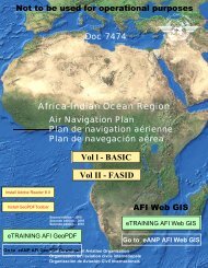
7754 Vol 1 Flyleaf - ICAO Public Maps
7754 Vol 1 Flyleaf - ICAO Public Maps
7754 Vol 1 Flyleaf - ICAO Public Maps

Create successful ePaper yourself
Turn your PDF publications into a flip-book with our unique Google optimized e-Paper software.
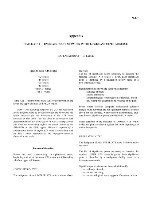
Appendix<br />
TABLE ATS-1 — BASIC ATS ROUTE NETWORK IN THE LOWER AND UPPER AIRSPACE<br />
Index to basic ATS routes<br />
“A” routes<br />
“B” routes<br />
“G” routes<br />
“R” routes<br />
“RNAV” routes<br />
“SST” routes<br />
Table ATS-1 describes the basic ATS route network in the<br />
lower and upper airspace of the EUR region.<br />
Note.— For planning purposes, FL 245 has been used<br />
as the uniform plane of division between the lower and the<br />
upper airspace for the description of the ATS route<br />
networks in this table. This was done in accordance with<br />
Recommendation 8/5 of the EUM VI RAN Meeting (1971)<br />
and does not necessarily reflect the current limits of the<br />
FIRs/UIRs in the EUR region. Where a segment of a<br />
conventional lower or upper ATS route is coincident with<br />
an RNAV route, reference to the respective route is<br />
depicted in the table.<br />
Format of the table<br />
Routes are listed consecutively, in alphabetical order,<br />
beginning with all of the lower ATS routes and followed by<br />
all of the upper ATS routes.<br />
LOWER ATS ROUTES<br />
The designator of each LOWER ATS route is shown above<br />
EXPLANATION OF THE TABLE<br />
V-A-1<br />
the route.<br />
The list of significant points necessary to describe the<br />
required LOWER ATS routes is given. Each significant<br />
point is identified by a navigation facility name or a<br />
five-letter name-code.<br />
Significant points shown are those which identify:<br />
— a change of track;<br />
— a route extremity;<br />
— a meteorological reporting point if required; and/or<br />
— any other point essential to be reflected in the plan.<br />
Points where facilities complete navigational guidance<br />
along a route but which are not significant points as defined<br />
above are not included. Names shown in parentheses indicate<br />
the next significant points outside the EUR region.<br />
Notes pertinent to the inclusion of LOWER ATS routes<br />
within the plan are shown against the route segment(s) to<br />
which they pertain.<br />
UPPER ATS ROUTES<br />
The designator of each UPPER ATS route is shown above<br />
the route.<br />
The list of significant points necessary to describe the<br />
required UPPER ATS routes is given. Each significant<br />
point is identified by a navigation facility name or a<br />
five-letter name-code.<br />
Significant points shown are those which identify:<br />
— a change of track;<br />
— a route extremity;<br />
— a meteorological reporting point if required; and/or