Allegheny River Headwaters Watershed Conservation Plan
Allegheny River Headwaters Watershed Conservation Plan
Allegheny River Headwaters Watershed Conservation Plan

You also want an ePaper? Increase the reach of your titles
YUMPU automatically turns print PDFs into web optimized ePapers that Google loves.
<strong>Allegheny</strong> <strong>River</strong> <strong>Headwaters</strong> <strong>Conservation</strong> <strong>Plan</strong><br />
Chapter 2. Land Resources<br />
nuisance laws, including odor and noise ordinances that would limit agricultural practices; and eligibility<br />
of landowners to sell the development rights of their farm as a conservation easement to the<br />
Commonwealth of Pennsylvania (Bureau of Farmland Preservation).<br />
A conservation easement is a deed restriction that landowners may voluntarily place on their<br />
property with another entity, thus establishing a material interest in the property to protect its natural<br />
resources (American Farmland Trust, 1998). With an easement agreement, the owner agrees to authorize<br />
the easement holder to monitor and enforce restrictions set forth in the agreement, and it ensures that the<br />
property will be protected indefinitely.<br />
Clean and Green Program<br />
Established by Act 319 in 1974 by the Pennsylvania legislature, the Clean and Green Program<br />
preserves agricultural and forestry lands by providing tax benefits through assessing property based on its<br />
“use value” as opposed to the normal “market value.” The program is voluntary and administered by<br />
individual county assessment offices. Owners who enroll must agree to maintain the land solely for<br />
agricultural use, agricultural reserve, or forest reserve use. Agricultural reserve areas are non-commercial,<br />
public open space used for outdoor recreation or scenic enjoyment.<br />
In order for a property to be eligible for the Clean and Green Program, it must be 10 contiguous<br />
acres of farm, forest, or open land. One exception to this requirement is agricultural lands that are less<br />
than 10 acres and earn a minimum of $2,000 gross income from farming activities. Agriculture or forest<br />
land uses must occur on the land for three years prior to applying for the Clean and Green Program. All<br />
land and structures, including residences and agricultural buildings, are considered part of the farmstead,<br />
and are eligible for enrollment. Interested landowners should contact their local agricultural preservation<br />
board, township office, or county assessment office for an application (Kanagy, 2001; PDA, 2007b).<br />
Owners who wish to withdrawal from the program face a rollback penalty for up to seven years—the<br />
current year and previous six years. The rollback penalty is the difference between taxes paid and what<br />
taxes would have been paid if land was not enrolled in the program. Each year’s rollback is subject to<br />
interest at a rate of six percent. Enrollment in the program transfers with ownership of the property, if<br />
sold, the new owners could be subject to the rollback penalty if they change the land use (Kanagy, 2001).<br />
Approximately 485,724 acres within the project area are enrolled in the Clean and Green Program.<br />
There are 124,370 acres enrolled in Potter County, while McKean County enrolls approximately 361,354<br />
acres located on 3,191 parcels (McKean, personal<br />
communication, 2009; Dietrich, personal communication,<br />
2009).<br />
Land Use<br />
The way that land is used within a region reveals a<br />
significant amount of information about the region. Land uses<br />
provide clues about major economic catalysts in a region, and<br />
offer a glimpse into the area’s past. Looking at a region’s land<br />
use can even identify trends not seen during everyday<br />
observation, such as insights into possible sources of<br />
environmental degradation. It is important to continually<br />
monitor land-use changes in a region in order to inform<br />
decision makers regarding planning and natural resources<br />
protection.<br />
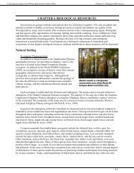
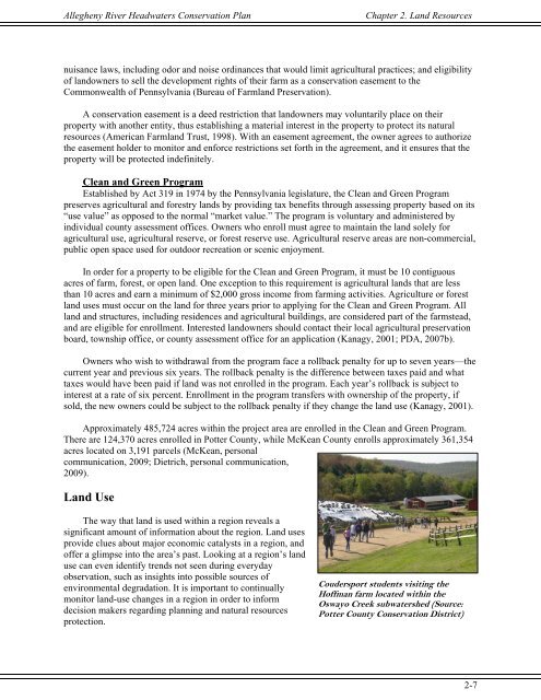
Coudersport students visiting the<br />
Hoffman farm located within the<br />
Oswayo Creek subwatershed (Source:<br />
Potter County <strong>Conservation</strong> District)<br />
2-7