MCAS Miramar Airport Land Use Compatibility Plan - San Diego ...
MCAS Miramar Airport Land Use Compatibility Plan - San Diego ...
MCAS Miramar Airport Land Use Compatibility Plan - San Diego ...

You also want an ePaper? Increase the reach of your titles
YUMPU automatically turns print PDFs into web optimized ePapers that Google loves.
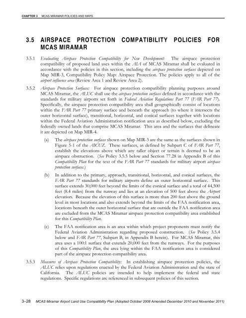
CHAPTER 3<strong>MCAS</strong> MIRAMAR POLICIES AND MAPS3.5 AIRSPACE PROTECTION COMPATIBILITY POLICIES FOR<strong>MCAS</strong> MIRAMAR3.5.1 Evaluating Airspace Protection <strong>Compatibility</strong> for New Development: The airspace protectioncompatibility of proposed land uses within the AIA of <strong>MCAS</strong> <strong>Miramar</strong> shall be evaluated inaccordance with the policies in this section, including the airspace protection surfaces depicted onMap MIR-3, <strong>Compatibility</strong> Policy Map: Airspace Protection. The policies apply to all of theairport influence area (Review Area 1 and Review Area 2).3.5.2 Airspace Protection Surfaces: For airspace protection compatibility planning purposes around<strong>MCAS</strong> <strong>Miramar</strong>, the ALUC shall use the airspace protection surfaces defined in accordance with thestandards for military airports set forth in Federal Aviation Regulations Part 77 (FAR Part 77).Specifically, the airspace protection compatibility area shall geographically consist of locationswithin the FAR Part 77 primary surface and beneath the approach (to where it intersects theouter horizontal surface), transitional, horizontal, and conical surfaces together with locationswithin the Federal Aviation Administration notification area as described below, excluding thefederally owned lands that comprise <strong>MCAS</strong> <strong>Miramar</strong>. This area and the surfaces that delineateit are depicted on Map MIR-4.(a) The airspace protection surfaces shown on Map MIR-3 are the same as the surfaces shown inFigure 5-1 of the AICUZ. These surfaces, as defined by Subpart C of FAR Part 77,establish the elevations above which any taller object or terrain is deemed to be anairspace obstruction. (See Policy 3.5.5 below and Section 77.28 in Appendix B of this<strong>Compatibility</strong> <strong>Plan</strong> for the text of the FAR Part 77 standards for military airport airspaceprotection surfaces.)(b)In addition to the primary, approach, transitional, horizontal, and conical surfaces, theFAR Part 77 standards for military airports define an outer horizontal surface. Thissurface extends 30,000 feet beyond the limits of the conical surface and a total of 44,500feet (8.4 miles) from the runway and lies at an elevation of 500 feet above the <strong>Airport</strong>elevation. Because the elevation of this surface is more than 200 feet above the groundlevel in most locations and also extends beyond the limits of the FAA notification area,locations beneath the outer horizontal surface that are outside the FAA notification areaare excluded from the <strong>MCAS</strong> <strong>Miramar</strong> airspace protection compatibility area establishedfor this <strong>Compatibility</strong> <strong>Plan</strong>.(c) The FAA notification area is an area within which project proponents must notify theFederal Aviation Administration regarding proposed construction. (See Policy 3.5.4below and FAR Part 77, Subpart B, in Appendix B herein). For <strong>MCAS</strong> <strong>Miramar</strong>, thisarea uses a 100:1 surface that extends 20,000 feet from the runways. For the purposesof this <strong>Compatibility</strong> <strong>Plan</strong>, the area lying within the FAA notification area is consideredpart of the airspace protection compatibility area.3.5.3 Measures of Airspace Protection <strong>Compatibility</strong>: In establishing airspace protection policies, theALUC relies upon regulations enacted by the Federal Aviation Administration and the state ofCalifornia. The ALUC policies are intended to help implement the federal and stateregulations. Specific regulations are referenced in subsequent policies of this section.3–28 <strong>MCAS</strong> <strong>Miramar</strong> <strong>Airport</strong> <strong>Land</strong> <strong>Use</strong> <strong>Compatibility</strong> <strong>Plan</strong> (Adopted October 2008 Amended December 2010 and November 2011)