Greater Dublin Area Draft Transport Strategy 2011-2030
Greater Dublin Area Draft Transport Strategy 2011-2030
Greater Dublin Area Draft Transport Strategy 2011-2030
- No tags were found...

You also want an ePaper? Increase the reach of your titles
YUMPU automatically turns print PDFs into web optimized ePapers that Google loves.
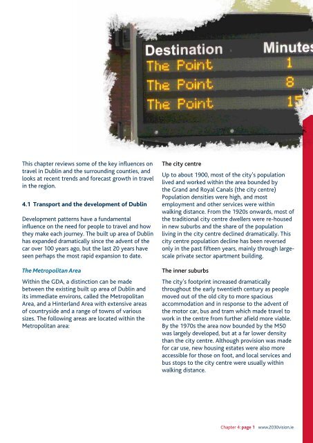
This chapter reviews some of the key influences ontravel in <strong>Dublin</strong> and the surrounding counties, andlooks at recent trends and forecast growth in travelin the region.4.1 <strong>Transport</strong> and the development of <strong>Dublin</strong>Development patterns have a fundamentalinfluence on the need for people to travel and howthey make each journey. The built up area of <strong>Dublin</strong>has expanded dramatically since the advent of thecar over 100 years ago, but the last 20 years haveseen perhaps the most rapid expansion to date.The Metropolitan <strong>Area</strong>Within the GDA, a distinction can be madebetween the existing built up area of <strong>Dublin</strong> andits immediate environs, called the Metropolitan<strong>Area</strong>, and a Hinterland <strong>Area</strong> with extensive areasof countryside and a range of towns of varioussizes. The following areas are located within theMetropolitan area:The city centreUp to about 1900, most of the city’s populationlived and worked within the area bounded bythe Grand and Royal Canals (the city centre)Population densities were high, and mostemployment and other services were withinwalking distance. From the 1920s onwards, most ofthe traditional city centre dwellers were re-housedin new suburbs and the share of the populationliving in the city centre declined dramatically. Thiscity centre population decline has been reversedonly in the past fifteen years, mainly through largescaleprivate sector apartment building.The inner suburbsThe city’s footprint increased dramaticallythroughout the early twentieth century as peoplemoved out of the old city to more spaciousaccommodation and in response to the advent ofthe motor car, bus and tram which made travel towork in the centre from further afield more viable.By the 1970s the area now bounded by the M50was largely developed, but at a far lower densitythan the city centre. Although provision was madefor car use, new housing estates were also moreaccessible for those on foot, and local services andbus stops to the city centre were usually withinwalking distance.Chapter 4: page 1 www.<strong>2030</strong>vision.ie