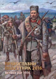
Zajecar - engleski - niska rezolucija

Create successful ePaper yourself
Turn your PDF publications into a flip-book with our unique Google optimized e-Paper software.
ZAJEČAR − CAPITAL OF SERBIAN EAST<br />
86<br />
“Industrial-Commercial Cooperative” was founded in<br />
1921. It was founded by Za je čar merchants, entrepreneurs<br />
and wealthier people of various professions. Most of the<br />
shares was later taken by industrial Đor đe Gen čić, and then<br />
also industrial Mi lan Sa vić. It went bankrupt because of<br />
carelessly invested funds in a glass factory.<br />
In addition to these, the following banks also worked<br />
in Zaječar: “Crafts Credit Bank” (1923-1929), “Commercial<br />
and Trading Bank” (1926-1940), Ge ne ral Bank “Raj ko vić and<br />
Staj ko vić” (from 1926 until the end of World War Two, when<br />
it was nationalized).<br />
Today, the following banks also have their branch offices<br />
in Zaječar: “Ko mer ci jal na ban ka”, “Kre di ban ka”, “Me ri di jan<br />
ban ka”, “Unicredit Bank”, “Agro ban ka”, “Ban ka In te sa”, “Al fa<br />
Bank”, “Société Générale”, “ProCredit Bank”, “Me tals Bank”,<br />
“AIK Bank”, “Po štan ska šte di o ni ca” and “Raiffeissen Bank”.<br />
TRAFFIC<br />
Already in the 2 nd century AD, Timočka krajina had good<br />
roads, by standards of that time. Powerful Roman Empire,<br />
having determined that it is under a great danger from the<br />
crossing of Barbarians over the Danube, built a series of fortifications<br />
along the big river. This Limes Moesiae stretched<br />
from Belgrade to the Black Sea. For the purpose of supplying<br />
the legions stationed there, Romans covered the entire area<br />
of today’s Timočka krajina with roads, including the area of<br />
what is today the city of Zaječar. In accordance with the available<br />
data, an important road led from Niš (Na i sus), through<br />
Rav na (Ti ma kum Mi nus), from there down the White Ti mok<br />
to the Ko stol fortification at the confluence of the Black<br />
and White Ti mo k. Here, the road branched toward Danube,<br />
Morava River basin, Bulgaria and Poreč. The road toward<br />
Morava River basin, by all accounts, was passing by the imperial<br />
Ro mu li ana.<br />
During the period of Turkish rule, the roads were fully<br />
neglected and ruined. They were hardly any better by World<br />
War Two, because the traffic was of low intensity, and means<br />
of transportation did not require modern quality pavements.<br />
The current road network was built mostly in the second<br />
half of the 20 th century. As an example, constrction of the<br />
road Za je čar-Pa ra ćin, which was the main connection between<br />
Timočka krajina and Morava River basin and Belgrade,<br />
started in 1963, and completed in 1969. Total length of the<br />
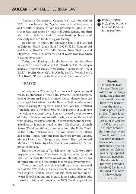
1<br />
2<br />
Railway station<br />
in Zaječar, entrance<br />
from the street and<br />
exit to platforms<br />
Dispute<br />
Merchants from<br />
Zaječar, To ma Milo<br />
še vić and Je re mi ja<br />
Sa vić, had a dispute<br />
that lasted for more<br />
than three decades<br />
over the right to<br />
build a power plant<br />
on Crni Timok River.<br />
When a power plant<br />
was built in Zaječar<br />
in 1926, there was<br />
a dispute between<br />
the municipality and<br />
To ma Mi lo še vi ć over<br />
the right to deliver<br />
the electricity to the<br />
customers. For a certain<br />
period, Zaječar<br />
was being supplied<br />
from two networks.<br />
The dispute lasted<br />
for three years and<br />
Milošević lost it, and<br />
thus had to remove<br />
his low voltage<br />
network.