

NJUNS Users Guide
lCfg309TNB0
lCfg309TNB0

You also want an ePaper? Increase the reach of your titles
YUMPU automatically turns print PDFs into web optimized ePapers that Google loves.
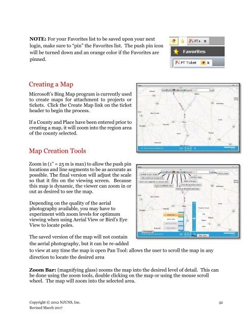
NOTE: For your Favorites list to be saved upon your next<br />
login, make sure to “pin” the Favorites list. The push pin icon<br />
will be turned down and an orange color if the Favorites are<br />
pinned.<br />
Creating a Map<br />
Microsoft’s Bing Map program is currently used<br />
to create maps for attachment to projects or<br />
tickets. Click the Create Map link on the ticket<br />
header to begin the process.<br />
If a County and Place have been entered prior to<br />
creating a map, it will zoom into the region area<br />
of the county selected.<br />
Map Creation Tools<br />
Zoom in (1” = 25 m is max) to allow the push pin<br />
locations and line segments to be as accurate as<br />
possible. The final version will adjust the scale<br />
so that it fits on the viewing screen. Because<br />
this map is dynamic, the viewer can zoom in or<br />
out as desired to see the map.<br />
Depending on the quality of the aerial<br />
photography available, you may have to<br />
experiment with zoom levels for optimum<br />
viewing when using Aerial View or Bird’s Eye<br />
View to locate poles.<br />
The saved version of the map will not contain<br />
the aerial photography, but it can be re-added<br />
to view at any time the map is open Pan Tool: allows the user to scroll the map in any<br />
direction to locate the desired area<br />
Zoom Bar: (magnifying glass) zooms the map into the desired level of detail. This can<br />
be done using the zoom tools, double clicking on the map or using the mouse scroll<br />
wheel. The map will zoom into the selected area.<br />
Copyright © 2012 <strong>NJUNS</strong>, Inc. 32<br />
Revised March 2017