eTheses Repository - University of Birmingham
eTheses Repository - University of Birmingham
eTheses Repository - University of Birmingham

You also want an ePaper? Increase the reach of your titles
YUMPU automatically turns print PDFs into web optimized ePapers that Google loves.
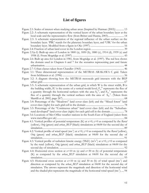
List <strong>of</strong> figures<br />
Figure 2.1: Scales <strong>of</strong> interest when studying urban areas (Inspired by Harman (2003)) ............. 13<br />
Figure 2.2: A schematic representation <strong>of</strong> the vertical layers <strong>of</strong> the urban boundary layer at the<br />
local scale and the representative flow (from Britter and Hanna, 2003).......................... 14<br />
Figure 2.3: A schematic representation <strong>of</strong> the regional influence <strong>of</strong> the urban surface on the<br />
boundary layer. ‘PBL’ stands for the planetary boundary layer, and ‘UBL’ for the urban<br />
boundary layer. Modified from a figure in Oke (1997)....................................................... 16<br />
Figure 2.4: Fraction <strong>of</strong> urban land cover in the London region...................................................... 39<br />
Figure 2.5(a-f): Built-up area <strong>of</strong> London in 1800 (a), 1850 (b), 1880 (c), 1914 (d), 1939 (e) and<br />
1958 (f). From Mogridge et al. (1997). ................................................................................... 43<br />
Figure 2.6: Built up area for London in 1981, from Mogridge et al. (1997). The red box shows<br />
the domain used in Chapters 6 and 7 for the scenarios representing past and future<br />
urbanisation. ................................................................................................................................44<br />
Figure 2.7: Urban classes taken from Chandler (1965) ..................................................................... 46<br />
Figure 3.1: Three dimensional representation <strong>of</strong> the METRAS ARAKAWA C grid. Taken<br />
from Schlünzen et al. (1996) .................................................................................................... 56<br />
Figure 3.2: A diagram showing how the METRAS mesoscale grid interacts with the BEP<br />
urban grid..................................................................................................................................... 67<br />
Figure 3.3: A schematic representation <strong>of</strong> the urban grid, in which W is the street width, B is<br />
H<br />
the building width, IU is the centre <strong>of</strong> a vertical model level, Fiu represents the flux <strong>of</strong><br />
H V<br />
a quantity through the horizontal surfaces with the area Siu , and FIU represents the<br />
V<br />
flux <strong>of</strong> a quantity through the vertical surfaces with the area <strong>of</strong> SIU . (Taken from<br />
Martilli et al. 2002, page 267).................................................................................................... 68<br />
Figure 3.4: Percentage <strong>of</strong> the “Meadows” land cover class (left) and the “Mixed forest” land<br />
cover class (right) for each grid cell in the domain .............................................................. 78<br />
Figure 3.5: Percentage <strong>of</strong> the “Continuous urban” land cover class (left) and the “Suburbanrural<br />
developed” land cover class (right) for each grid cell in the domain ...................... 78<br />
Figure 3.6: Locations <strong>of</strong> Met Office weather stations in the South-East <strong>of</strong> England (taken from<br />
www.met<strong>of</strong>fice.gov.uk) ............................................................................................................. 84<br />
Figure 4.1: Vertical pr<strong>of</strong>iles <strong>of</strong> potential temperature (K) at x=0, y=0 as computed by the Rural<br />
(yellow), Orig (green) and urban_BEP (black) simulations at 04:00 for the second day <strong>of</strong><br />
simulation..................................................................................................................................... 89<br />
Figure 4.2: Vertical pr<strong>of</strong>ile <strong>of</strong> wind speed (ms -1 ) at x=0, y=0 as computed by the Rural (yellow),<br />
Orig (green) and urban_BEP (black) simulations at 04:00 for the second day <strong>of</strong><br />
simulation..................................................................................................................................... 91<br />
Figure 4.3: Vertical pr<strong>of</strong>ile <strong>of</strong> turbulent kinetic energy (TKE) (m 2 s -2 ) at x=0, y=0 as computed<br />
by the rural (yellow), Orig (green) and urban_BEP (black) simulations at 04:00 for the<br />
second day <strong>of</strong> simulation. ......................................................................................................... 92<br />
Figure 4.4: Horizontal cross section at z=10 m (a) and z=30 m (b) <strong>of</strong> potential temperature<br />
(K) as computed by the urban_BEP simulation at 04:00 for the second day <strong>of</strong><br />
simulation..................................................................................................................................... 93<br />
Figure 4.5: Horizontal cross section at z=10 m (a) and 30 m (b) <strong>of</strong> wind speed (ms -1 ) and<br />
direction as computed by the urban_BEP simulation at 04:00 for the second day <strong>of</strong><br />
simulation. The arrows represent the magnitude and direction <strong>of</strong> the horizontal wind<br />
and the shaded plot represents the magnitude <strong>of</strong> the horizontal wind speed (ms -1 ). .... 94<br />
vii