Byte av referenssystem i plan i Oskarshamns kommun - Lantmäteriet
Byte av referenssystem i plan i Oskarshamns kommun - Lantmäteriet
Byte av referenssystem i plan i Oskarshamns kommun - Lantmäteriet
- No tags were found...
Create successful ePaper yourself
Turn your PDF publications into a flip-book with our unique Google optimized e-Paper software.
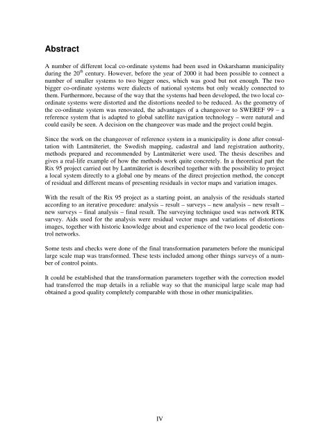
AbstractA number of different local co-ordinate systems had been used in Oskarshamn municipalityduring the 20 th century. However, before the year of 2000 it had been possible to connect anumber of smaller systems to two bigger ones, which was good but not enough. The twobigger co-ordinate systems were dialects of national systems but only weakly connected tothem. Furthermore, because of the way that the systems had been developed, the two local coordinatesystems were distorted and the distortions needed to be reduced. As the geometry ofthe co-ordinate system was renovated, the advantages of a changeover to SWEREF 99 – areference system that is adapted to global satellite n<strong>av</strong>igation technology – were natural andcould easily be seen. A decision on the changeover was made and the project could begin.Since the work on the changeover of reference system in a municipality is done after consultationwith Lantmäteriet, the Swedish mapping, cadastral and land registration authority,methods prepared and recommended by Lantmäteriet were used. The thesis describes andgives a real-life example of how the methods work quite concretely. In a theoretical part theRix 95 project carried out by Lantmäteriet is described together with the possibility to projecta local system directly to a global one by means of the direct projection method, the conceptof residual and different means of presenting residuals in vector maps and variation images.With the result of the Rix 95 project as a starting point, an analysis of the residuals startedaccording to an iterative procedure: analysis – result – surveys – new analysis – new result –new surveys – final analysis – final result. The surveying technique used was network RTKsurvey. Aids used for the analysis were residual vector maps and variations of distortionsimages, together with historic knowledge about and experience of the two local geodetic controlnetworks.Some tests and checks were done of the final transformation parameters before the municipallarge scale map was transformed. These tests included among other things surveys of a numberof control points.It could be established that the transformation parameters together with the correction modelhad transferred the map details in a reliable way so that the municipal large scale map hadobtained a good quality completely comparable with those in other municipalities.IV


