Byte av referenssystem i plan i Oskarshamns kommun - Lantmäteriet
Byte av referenssystem i plan i Oskarshamns kommun - Lantmäteriet
Byte av referenssystem i plan i Oskarshamns kommun - Lantmäteriet
- No tags were found...
You also want an ePaper? Increase the reach of your titles
YUMPU automatically turns print PDFs into web optimized ePapers that Google loves.
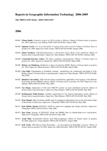
Reports in Geographic Information Technology 2006-2009The TRITA-GIT Series - ISSN 1653-5227200606-001 Uliana Danila. Corrective surface for GPS-levelling in Moldova. Master of Science thesis in geodesyNo. 3089. Supervisor: Lars Sjöberg. TRITA-GIT EX 06-001. January 2006.06-002 Ingemar Lewén. Use of gyrotheodolite in underground control network. Master of Science thesis ingeodesy No. 3090. Supervisor: Erick Asenjo. TRITA-GIT EX 06-002. January 2006.06-003 Johan Tornberg. Felfort<strong>plan</strong>tningsanalys i GIS-projekt genom Monte Carlo-simulering. Master ofScience thesis in geoinformatics. Supervisor: Mats Dunkars. TRITA-GIT EX 06-003. February 2006.06-004 Constantin-Oct<strong>av</strong>ian Andrei. 3D affine coordinate transformations. Master of Science thesis ingeodesy No. 3091. Supervisor: Huaan Fan. TRITA-GIT EX 06-004. March 2006.06-005 Helena von Malmborg. Jämförelse <strong>av</strong> Epos och nätverks-DGPS. Master of Science thesis in geodesyNo. 3092. Supervisor: Milan Horemuz. TRITA-GIT EX 06-005. March 2006.06-006 Lina Ståhl. Uppskattning <strong>av</strong> kloridhalt i brunnar - modellering och visualisering med hjälp <strong>av</strong> SAS-Bridge. Master of Science thesis in geoinformatics. Supervisor: Hans Hauska. TRITA-GIT EX 06-006.May 2006.06-007 Dimitrios Chrysafinos. VRS network design considerations applicable to the topology of the HellenicPositioning System (HEPOS) stations. Master of Science thesis in geodesy No.3093. Supervisor: LarsSjöberg. TRITA-GIT EX 06-007. May 2006.06-008 Tao Zhang. Application of GIS and CARE-W systems on water distribution networks. Master ofScience thesis in geoinformatics. Supervisor: Mats Dunkars. TRITA-GIT EX 06-008. May 2006.06-009 Krishnasamy Satish Kumar. Usability engineering for Utö tourism information system. Master ofScience thesis in geoinformatics. Supervisor: Mats Dunkars. TRITA-GIT EX 06-009. May 2006.06-010 Irene Rangle. High resolution satellite data for mapping Landuse/land-cover in the rural-urban fringeof the Greater Toronto area. Supervisor: Yifang Ban. TRITA-GIT EX 06-010. May 2006.06-011 Kazi Ishtiak Ahmed. ENVISAT ASAR for land-cover mapping and change detection. Supervisor:Yifang Ban. TRITA-GIT EX 06-011. May 2006.06-012 Jian Liang. Synergy of ENVISAT ASAR and MERIS data for landuse/land-cover classification.Supervisor: Yifang Ban. TRITA-GIT EX 06-012. May 2006.06-013 Assad Shah. Systematiska effecter inom Riks<strong>av</strong>vägningen. Master of Science thesis in geodesyNo.3094. Supervisor: Tomas Egeltoft. TRITA-GIT EX 06-013. August 2006.06-014 Erik Trehn. GPS Precise Point Positioning – An Investigation In Reachable Accuracy. Master ofScience thesis in geodesy No.3095. Supervisor: Milan Horemuz. TRITA-GIT EX 06-014. August 2006.


