Byte av referenssystem i plan i Oskarshamns kommun - Lantmäteriet
Byte av referenssystem i plan i Oskarshamns kommun - Lantmäteriet
Byte av referenssystem i plan i Oskarshamns kommun - Lantmäteriet
- No tags were found...
Create successful ePaper yourself
Turn your PDF publications into a flip-book with our unique Google optimized e-Paper software.
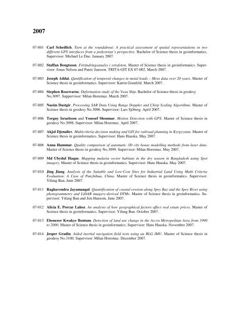
200707-001 Carl Schedlich. Turn at the roundabout: A practical assessment of spatial representations in twodifferent GPS interfaces from a pedestrian’s perspective. Bachelor of Science thesis in geoinformatics.Supervisor: Michael Le Duc. January 2007.07-002 Staffan Bengtsson. Förändringsanalys i ortofoton. Master of Science thesis in geoinformatics. Supervisor:Jonas Nelson and Patric Jansson. TRITA-GIT EX 07-002. March 2007.07-003 Joseph Addai. Qantification of temporal changes in metal loads – Moss data over 20 years. Master ofScience thesis in geoinformatics. Supervisor: Katrin Grunfeld. March 2007.07-004 Stephen Rosewarne. Deformation study of the Vasa Ship. Bachelor of Science thesis in geodesyNo.3097. Suppervisor: Milan Horemuz. March 2007.07-005 Naeim Dastgir. Processing SAR Data Using Range Doppler and Chirp Scaling Algorithms. Master ofScience thesis in geodesy No.3096. Supervisor: Lars Sjöberg. April 2007.07-006 Torgny Israelsson and Youssef Shoumar. Motion Detection with GPS. Master of Science thesis ingeodesy No.3098. Supervisor: Milan Horemuz. April 2007.07-007 Akjol Djenaliev. Multicriteria decision making and GIS for railroad <strong>plan</strong>ning in Kyrgyzstan. Master ofScience thesis in geoinformatics. Supervisor: Hans Hauska. May 2007.07-008 Anna Hammar. Quality comparison of automatic 3D city house modelling methods from laser data.Master of Science thesis in geodesy No.3099. Supervisor: Milan Horemuz. May 2007.07-009 Md Ubydul Haque. Mapping malaria vector habitats in the dry season in Bangladesh using Spotimagery. Master of Science thesis in geoinformatics. Supervisor: Hans Hauska. May 2007.07-010 Jing Jiang. Analysis of the Suitable and Low-Cost Sites for Industrial Land Using Multi CriteriaEvaluation: A Case of Panzhihua, China. Master of Science thesis in geoinformatics. Supervisor:Yifang Ban. June 2007.07-011 Ragh<strong>av</strong>endra Jayamangal. Quantification of coastal erosion along Spey Bay and the Spey River usingphotogrammetry and LiDAR imagery-derived DTMs. Master of Science thesis in geoinformatics. Supervisor:Yifang Ban and Jim Hansom. June 2007.07-012 Alicia E. Porcar Lahoz. An analysis of how geographical factors affect real estate prices. Master ofScience thesis in geoinformatics. Supervisor: Yifang Ban. October 2007.07-013 Ebenezer Kwakye Bentum. Detection of land use change in the Accra Metropolitan Area from 1990to 2000. Master of Science thesis in geoinformatics. Supervisor: Hans Hauska. November 2007.07-014 Jesper Gradin. Aided inertial n<strong>av</strong>igation field tests using an RLG IMU. Master of Science thesis ingeodesy No.3100. Supervisor: Milan Horemuz. December 2007.


