

7th Workshop on Forest Fire Management - EARSeL, European ...
7th Workshop on Forest Fire Management - EARSeL, European ...
7th Workshop on Forest Fire Management - EARSeL, European ...

Create successful ePaper yourself
Turn your PDF publications into a flip-book with our unique Google optimized e-Paper software.
SIGRI - An Integrated System for Detecting, M<strong>on</strong>itoring, Characterizing <strong>Forest</strong> <strong>Fire</strong>s and Assessing damage by LEO-GEO Data 197<br />
Calabria, Sardinia and Liguria. The dem<strong>on</strong>strati<strong>on</strong> activities, in which ASI<br />
and DPC will be involved, aim at dem<strong>on</strong>strating the service functi<strong>on</strong>ality<br />
and the effective functi<strong>on</strong>ing of the end-to-end system. During the dem<strong>on</strong>strati<strong>on</strong><br />
phase the products will be generated for each <strong>on</strong>e of the test area.<br />
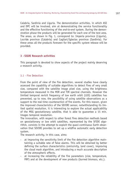
The areas, as shown in Fig. 1, corresp<strong>on</strong>d to: Imperia province (Liguria),<br />
Locride province (Calabria) and Cagliari/Iglesias province (Sardinia). For<br />
these areas all the products foreseen for the specific system release will be<br />
provided.<br />
3 - SIGRI Research activities<br />
This paragraph is devoted to show aspects of the project mainly deserving<br />
a research activity.<br />
3.1 - <strong>Fire</strong> Detecti<strong>on</strong><br />
From the point of view of the fire detecti<strong>on</strong>, several studies have clearly<br />
assessed the capability of suitable algorithms to detect fires of very small<br />
size, compared with the satellite image pixel size, using the brightness<br />
temperature measured in the MIR and TIR spectral channels. However the<br />
limited temporal revisit frequency of low earth orbit (LEO) satellites has<br />
prevented, up to now, the possibility of using satellite observati<strong>on</strong>s as a<br />
support to the real time counteracti<strong>on</strong> of fire events. For this reas<strong>on</strong>, given<br />
the improved characteristics of the SEVIRI sensor, notwithstanding its limited<br />
spatial resoluti<strong>on</strong>, it is interesting to explore the actual applicability<br />
of the MSG geostati<strong>on</strong>ary satellite, that is able to guarantee a 15 min.<br />
images temporal resoluti<strong>on</strong>.<br />
The innovati<strong>on</strong>, with respect to other forest fires detecti<strong>on</strong> methods based<br />
<strong>on</strong> geostati<strong>on</strong>ary or low orbit satellites, represented by the SFIDE algorithm,<br />
c<strong>on</strong>sists in the attempt to exploit the quasi-c<strong>on</strong>tinuous Earth observati<strong>on</strong><br />
that SEVIRI provides to set up a wildfire automatic early detecti<strong>on</strong><br />
system.<br />
The research activity, in this case, aims:<br />
- at improving the sensitivity limit of the fire detecti<strong>on</strong> algorithm maintaining<br />
a suitable rate of false alarms. This will be obtained by better<br />
defining the surface characteristics (emissivity, land cover), improving<br />
the cloud mask algorithm, and introducing a much accurate descripti<strong>on</strong><br />
of the atmospheric effects.<br />
- at increasing the reliability of the fire parameters (size, temperature,<br />
FRP) and at the development of new products (burned biomass, etc.).


