Ground-water development in East St. Louis area, Illinois. Urbana, IL ...
Ground-water development in East St. Louis area, Illinois. Urbana, IL ...
Ground-water development in East St. Louis area, Illinois. Urbana, IL ...
You also want an ePaper? Increase the reach of your titles
YUMPU automatically turns print PDFs into web optimized ePapers that Google loves.
<strong>Ground</strong> Water Development <strong>in</strong> <strong>East</strong> <strong>St</strong> <strong>Louis</strong> Area, Ill<strong>in</strong>ois<br />
by R. J. Schicht<br />
ABSTRACT<br />
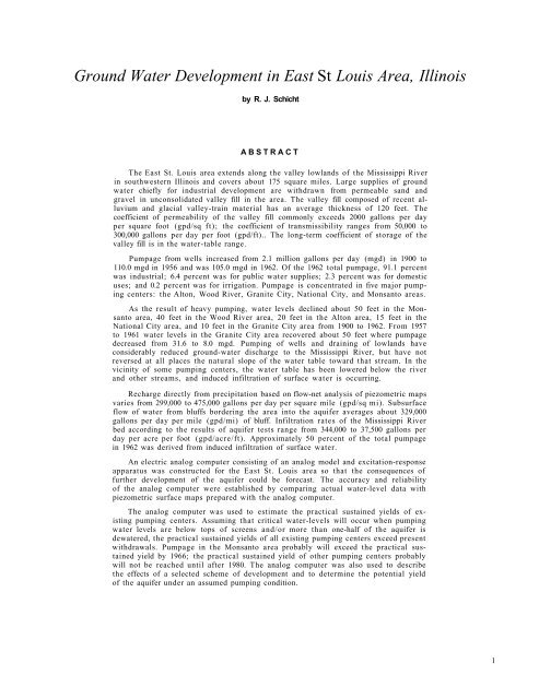
The <strong>East</strong> <strong>St</strong>. <strong>Louis</strong> <strong>area</strong> extends along the valley lowlands of the Mississippi River<br />
<strong>in</strong> southwestern Ill<strong>in</strong>ois and covers about 175 square miles. Large supplies of ground<br />
<strong>water</strong> chiefly for <strong>in</strong>dustrial <strong>development</strong> are withdrawn from permeable sand and<br />
gravel <strong>in</strong> unconsolidated valley fill <strong>in</strong> the <strong>area</strong>. The valley fill composed of recent alluvium<br />
and glacial valley-tra<strong>in</strong> material has an average thickness of 120 feet. The<br />
coefficient of permeability of the valley fill commonly exceeds 2000 gallons per day<br />
per square foot (gpd/sq ft); the coefficient of transmissibility ranges from 50,000 to<br />
300,000 gallons per day per foot (gpd/ft).. The long-term coefficient of storage of the<br />
valley fill is <strong>in</strong> the <strong>water</strong>-table range.<br />
Pumpage from wells <strong>in</strong>creased from 2.1 million gallons per day (mgd) <strong>in</strong> 1900 to<br />
110.0 mgd <strong>in</strong> 1956 and was 105.0 mgd <strong>in</strong> 1962. Of the 1962 total pumpage, 91.1 percent<br />
was <strong>in</strong>dustrial; 6.4 percent was for public <strong>water</strong> supplies; 2.3 percent was for domestic<br />
uses; and 0.2 percent was for irrigation. Pumpage is concentrated <strong>in</strong> five major pump<strong>in</strong>g<br />
centers: the Alton, Wood River, Granite City, National City, and Monsanto <strong>area</strong>s.<br />
As the result of heavy pump<strong>in</strong>g, <strong>water</strong> levels decl<strong>in</strong>ed about 50 feet <strong>in</strong> the Monsanto<br />
<strong>area</strong>, 40 feet <strong>in</strong> the Wood River <strong>area</strong>, 20 feet <strong>in</strong> the Alton <strong>area</strong>, 15 feet <strong>in</strong> the<br />
National City <strong>area</strong>, and 10 feet <strong>in</strong> the Granite City <strong>area</strong> from 1900 to 1962. From 1957<br />
to 1961 <strong>water</strong> levels <strong>in</strong> the Granite City <strong>area</strong> recovered about 50 feet where pumpage<br />
decreased from 31.6 to 8.0 mgd. Pump<strong>in</strong>g of wells and dra<strong>in</strong><strong>in</strong>g of lowlands have<br />
considerably reduced ground-<strong>water</strong> discharge to the Mississippi River, but have not<br />
reversed at all places the natural slope of the <strong>water</strong> table toward that stream. In the<br />
vic<strong>in</strong>ity of some pump<strong>in</strong>g centers, the <strong>water</strong> table has been lowered below the river<br />
and other streams, and <strong>in</strong>duced <strong>in</strong>filtration of surface <strong>water</strong> is occurr<strong>in</strong>g.<br />
Recharge directly from precipitation based on flow-net analysis of piezometric maps<br />
varies from 299,000 to 475,000 gallons per day per square mile (gpd/sq mi). Subsurface<br />
flow of <strong>water</strong> from bluffs border<strong>in</strong>g the <strong>area</strong> <strong>in</strong>to the aquifer averages about 329,000<br />
gallons per day per mile (gpd/mi) of bluff. Infiltration rates of the Mississippi River<br />
bed accord<strong>in</strong>g to the results of aquifer tests range from 344,000 to 37,500 gallons per<br />
day per acre per foot (gpd/acre/ft). Approximately 50 percent of the total pumpage<br />
<strong>in</strong> 1962 was derived from <strong>in</strong>duced <strong>in</strong>filtration of surface <strong>water</strong>.<br />
An electric analog computer consist<strong>in</strong>g of an analog model and excitation-response<br />
apparatus was constructed for the <strong>East</strong> <strong>St</strong>. <strong>Louis</strong> <strong>area</strong> so that the consequences of<br />
further <strong>development</strong> of the aquifer could be forecast. The accuracy and reliability<br />
of the analog computer were established by compar<strong>in</strong>g actual <strong>water</strong>-level data with<br />
piezometric surface maps prepared with the analog computer.<br />
The analog computer was used to estimate the practical susta<strong>in</strong>ed yields of exist<strong>in</strong>g<br />
pump<strong>in</strong>g centers. Assum<strong>in</strong>g that critical <strong>water</strong>-levels will occur when pump<strong>in</strong>g<br />
<strong>water</strong> levels are below tops of screens and/or more than one-half of the aquifer is<br />
de<strong>water</strong>ed, the practical susta<strong>in</strong>ed yields of all exist<strong>in</strong>g pump<strong>in</strong>g centers exceed present<br />
withdrawals. Pumpage <strong>in</strong> the Monsanto <strong>area</strong> probably will exceed the practical susta<strong>in</strong>ed<br />
yield by 1966; the practical susta<strong>in</strong>ed yield of other pump<strong>in</strong>g centers probably<br />
will not be reached until after 1980. The analog computer was also used to describe<br />
the effects of a selected scheme of <strong>development</strong> and to determ<strong>in</strong>e the potential yield<br />
of the aquifer under an assumed pump<strong>in</strong>g condition.<br />
1


