the PDF version! - Danube Limes
the PDF version! - Danube Limes
the PDF version! - Danube Limes

You also want an ePaper? Increase the reach of your titles
YUMPU automatically turns print PDFs into web optimized ePapers that Google loves.
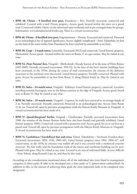
Frontiers of <strong>the</strong> Roman Empire – Ripa Pannonica in Hungary (RPH) Nomination statement<br />
• RPH 48. Ulcisia – 9 fortified river port, Dunakeszi – Rév: Partially excavated, conserved and<br />
exhibited. Covered with a roof. Private property. Access: good, located within <strong>the</strong> town on a paved<br />
road. Connected exhibit. Open: on <strong>the</strong> advertised open weekends and at pre-arranged times for groups.<br />
Information: www.dunakeszierod-fortlet.org. There is a virtual reconstruction.<br />
• RPH 48. Ulcisia – 8 fortified river port, Szigetmonostor – Horány: Excavated and conserved. Protected<br />
as an archaeological site of regional significance. Access: slightly complicated – from Tahitótfalu, by foot<br />
on <strong>the</strong> land of <strong>the</strong> water works; from Dunakeszi by ferry (reached by automobile or on foot)..<br />
• RPH 50. Cirpi – 2 watch tower, Leányfalu: Excavated (1912) and conserved. Listed historic property.<br />
Maintained. Access: good – located within <strong>the</strong> town on Route 11 at a gas station. May be visited at any<br />
time.<br />
• RPH 54. Pone Navata? fort, Visegrád – Sibrik-domb: Already known of in <strong>the</strong> time of Flóris Rómer<br />
(1815-1889). Partially excavated (excavation: 1951-52). So far four of <strong>the</strong> fort’s interior buildings have<br />
been excavated, in <strong>the</strong> 1970s, during <strong>the</strong> course of road construction <strong>the</strong> remains of <strong>the</strong> defensive<br />
structures to <strong>the</strong> nor<strong>the</strong>ast were discovered. Listed historic property. Partially conserved. Planted with<br />
grass. Access: by automobile or on foot from Route 11 along Mátyás király út. May be visited at any<br />
time.<br />
• RPH 55. Solva – 24 watch tower, Visegrád – Kőbánya: Listed historic property, conserved. Location:<br />
travelling towards Esztergom, next to <strong>the</strong> Bánya-csatorna at <strong>the</strong> edge of Visegrád. Access: good, found<br />
next to Route 11. May be visited at any time.<br />
• RPH 56. Solva – 35 watch tower, Visegrád – Lepence: Its walls have survived to an average height of<br />
2 m. Partially excavated. Partailly conserved. Protected as an archaeological site. Access: from Route<br />
11 by car. Fenced off, open by previous arrangement (with <strong>the</strong> Mátyás Király Museum in Visegrád). A<br />
virtual reconstruction has been made of it.<br />
• RPH 57. Quadriburgium? fortlet, Visegrád – Gizellamajor: Partially excavated (excavations from<br />
1988, <strong>the</strong> remains of <strong>the</strong> former Roman baths have also been found) and partially exhibited. Listed<br />
historic property (1991). Conserved, covered with a protective roof. Access: good, by car or on foot on a<br />
paved road. Fenced off, open by previous arrangement (with <strong>the</strong> Mátyás Király Museum in Visegrád).<br />
A virtual reconstruction has been made of it.<br />
• RPH 74. Cardabiaca / Gardellaca? fort and vicus, Tokod, Tokodaltáró – Vár-berek, Erzsébet-akna:<br />
Excavated (excavations: 1893, 1926, 1960–69). Listed historic property since 1964. 1966–67: wall<br />
conservation, in <strong>the</strong> 1970s its entrance was walled off and it was covered with a reinforced concrete<br />
structure. The fort walls, and <strong>the</strong> foundation walls of <strong>the</strong> towers and warehouse building can be seen.<br />
Planted with grass. May be visited at any time. Located in an area of cultivated fields. Access: difficult<br />
– from Tokod, along Kossuth Lajos út, and <strong>the</strong>n by dirt road.<br />
According to <strong>the</strong> considerations mentioned above all of <strong>the</strong> individual sites were listed in management<br />
categories A (limes park), B (able to be developed into a limes park) or C (preservation undisturbed). In<br />
addition to this, in <strong>the</strong> interest of achieving <strong>the</strong>se goals <strong>the</strong> most important tasks to be completed were<br />
designated.<br />
105