Land Use 2025 - RhodeMap RI
Land Use 2025 - RhodeMap RI
Land Use 2025 - RhodeMap RI
- No tags were found...
Create successful ePaper yourself
Turn your PDF publications into a flip-book with our unique Google optimized e-Paper software.
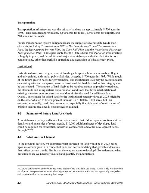
TransportationTransportation infrastructure was the primary land use on approximately 8,700 acres in1995. This included approximately 6,500 acres for roads 3 , 1,900 acres for airports, and200 acres for railroads.Future transportation system components are the subject of several State Guide Planelements, including Transportation <strong>2025</strong> – The Long Range Ground TransportationPlan, the State Airport Systems Plan, the State Rail Plan, and the Waterborne PassengerTransportation Plan. These plans note that the State’s basic transportation infrastructureis largely in place, and the addition of major new highways and other facilities is notcontemplated, other than periodic upgrading and expansion of what already exists.InstitutionalInstitutional uses, such as government buildings, hospitals, libraries, schools, collegesand universities, and similar public facilities, occupied 8,700 acres in 1995. While muchof the future growth needs for governmental and institutional uses may be accommodatedon existing sites and campuses, some expansion of the land devoted to this category canbe anticipated. The amount of land likely to be required cannot be precisely predicted,but standards and siting criteria and/or market conditions that favor rehabilitation ofexisting sites over new construction could minimize the need for additional land.Overall, an estimate for added land for the institutional category through <strong>2025</strong> might beon the order of a ten to fifteen percent increase – i.e., 870 to 1,300 acres; but thisestimate, admittedly, could be conservative, especially if a high level of reutilization ofexisting institutional sites is not stressed or attained.4-5 Summary of Future <strong>Land</strong> <strong>Use</strong> NeedsAbsent dramatic policy shifts, our forecasts estimate that if development continues at thedensities and intensities of recent trends, 110,000 additional acres of developed landcould be required for residential, industrial, commercial, and other development needsthrough <strong>2025</strong>.4-6 What Are the Choices?In the previous section, we quantified what our need for land would be in <strong>2025</strong> basedupon maximum growth in residential units and accommodating that growth at densitiesthat reflect current trends. But is that the way we want to develop? To understand whatour choices are we need to visualize and quantify the alternatives.3 Likely a considerable undercount due to the nature of the 1995 land use study. As the study was based onaerial photo interpretation, most two-lane highways and local streets and roads were generally categorizedand counted within the surrounding land usage.4-6<strong>Land</strong> <strong>Use</strong> <strong>2025</strong>: Rhode Island State <strong>Land</strong> <strong>Use</strong> Policies and Plan (April 2006)


