

Land Use 2025 - RhodeMap RI
Land Use 2025 - RhodeMap RI
Land Use 2025 - RhodeMap RI
- No tags were found...

Create successful ePaper yourself
Turn your PDF publications into a flip-book with our unique Google optimized e-Paper software.
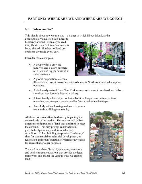
PART ONE: WHERE ARE WE AND WHERE ARE WE GOING?1-1 Where Are We?This plan is about how we use land – a matter to which Rhode Island, as thegeographically smallest State, needs tobe keenly attuned. Even as you readthis, Rhode Island’s future landscape isbeing shaped. Hundreds of land usedecisions are made every day.Consider these examples:• A couple with a growingfamily places a down paymenton a new and bigger house in asuburban town.• A global corporation selects aRhode Island downtown office suite to house its North American sales supportoperation.• A chef newly arrived from New York opens a restaurant in an abandoned urbanstorefront that formerly housed a bakery.• A farm family reluctantly concludes that it no longer can continue its farmoperation, and accepts a purchase offer from a real estate developer.• An elderly widow looking to downsize movesto an assisted-living community.All these decisions affect land use by impacting thedemand side of the market. This market will deliverdifferent configurations of land uses designed to meetthe demand. This may prompt construction ingreenfields (previously undeveloped areas),demolition of older buildings to provide “pad-ready”sites for commercial or industrial development, orrenovation and reconfiguration of what already existsfor residential or other purposes.The market is also affected by planning, regulatoryand public investment actions that provide the legalframework and enable the various ways we employland:<strong>Land</strong> <strong>Use</strong> <strong>2025</strong>: Rhode Island State <strong>Land</strong> <strong>Use</strong> Policies and Plan (April 2006) 1-1


